The geography in 30 seconds
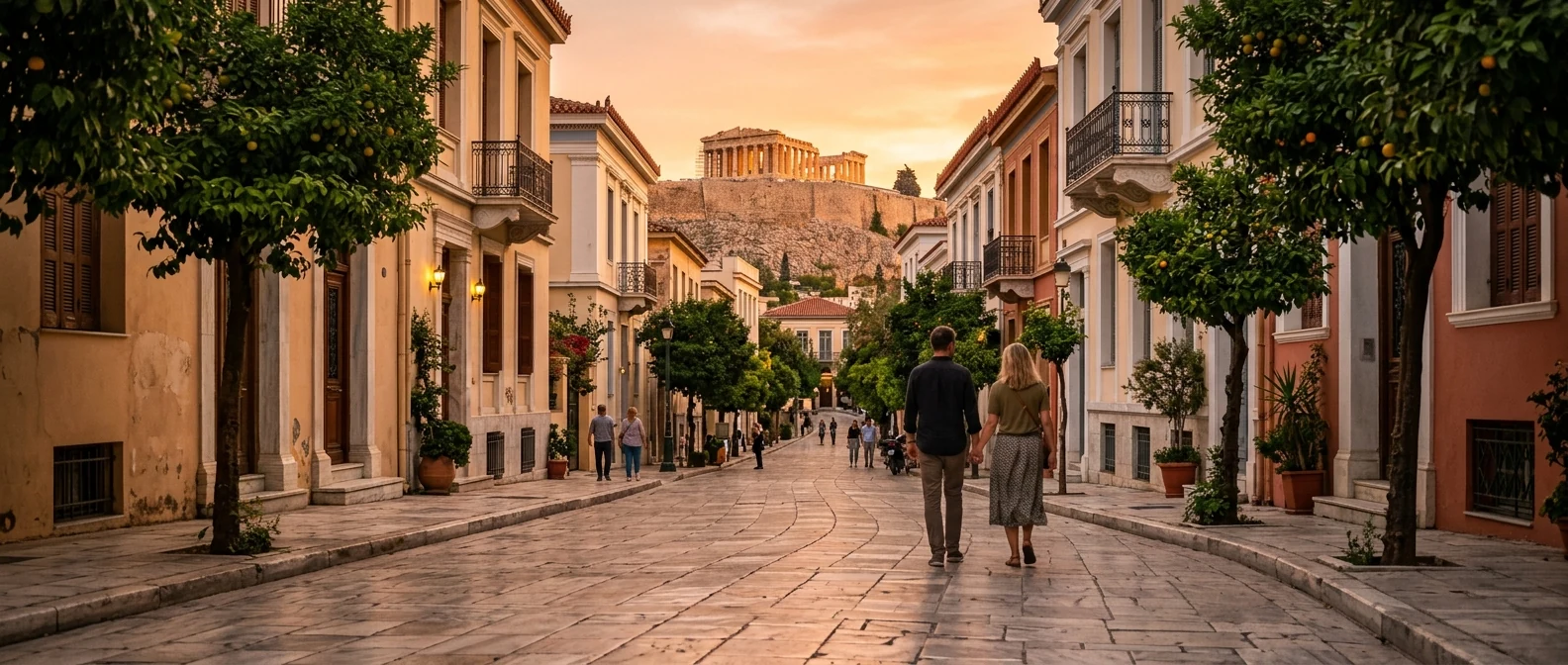
The central routes include small but noticeable slopes. From Omonia and Victoria toward Syntagma and Plaka you gradually climb, while around the Acropolis and Anafiotika the gradients become more obvious. On a mild day this barely matters. In July at 15:00, the same distance can feel twice as long.
The seven reference points
- Acropolis ticket entrance — south side, near the Acropolis Museum.
- Plaka centre — Anafiotika alleys, just north of the Acropolis.
- Monastiraki Square — flea-market and metro junction.
- Syntagma Square — Parliament, the Evzones and the main transport hub.
- Omonoia Square — north of Syntagma, more commercial.
- Victoria Square — north of Omonoia, residential, near the National Archaeological Museum.
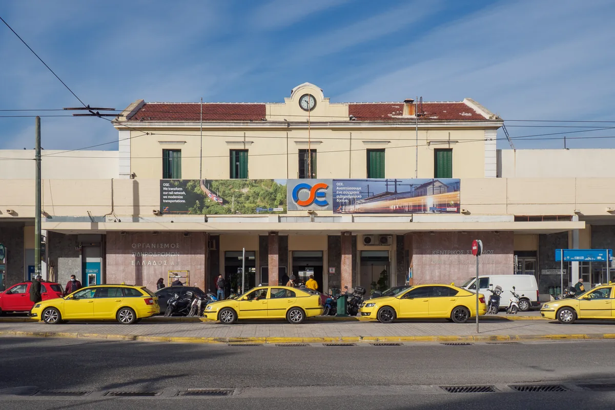
- Larissis Station / Pedion Areos — the northwestern edge.
The honest walking-times table
Syntagma → Acropolis ticket
15-20 minutes. Through Plaka or the National Garden, with a moderate climb in the last section.
Syntagma → Monastiraki
About 10 minutes via Ermou, on a pedestrian route that is mostly flat.
Monastiraki → Acropolis ticket
12-15 minutes, mainly via Apostolou Pavlou. The last part includes a gentle climb.
Syntagma → Omonoia
12-15 minutes via Stadiou or Panepistimiou, with broad pavements for most of the route.
Omonoia → Victoria
About 12 minutes via Patision. It is a more urban, commercial walk with plenty of movement.
Victoria → Pedion Areos park entrance
4-6 minutes to the edge of the park. For Larissis Station, allow more time and choose a well-lit route.
Acropolis → Plaka centre
6-8 minutes downhill, through pedestrian-friendly streets.
Plaka → Anafiotika
8-12 minutes depending on the alley. Anafiotika sits above Plaka and involves steps.
The "summer afternoon" multiplier
How heat changes the calculation
The times above assume mild weather and a normal pace. In summer, especially between midday and late afternoon, uphill sections need a slower rhythm and breaks in the shade. Do not plan the Acropolis like a simple fifteen-minute stroll.
- Climb to the Acropolis early or later in the day, depending on opening hours and temperature.
- Avoid long uphill walks at midday, especially with children or older travellers.
- Take the metro for longer northern walks, such as Syntagma to Larissis or Victoria.
- Carry water — the centre has many cafés but not many public fountains.
The classic walking routes
Route 1 — The "Big Five" (3-4 hours)
- Start: Syntagma (Parliament, Evzones).
- 15-20 minutes via Plaka or the National Garden → Acropolis ticket entrance.
- Allow enough time on the Acropolis itself, depending on queues and photos.
- About 10 minutes → Acropolis Museum.
- Continue to the museum or come down toward Dionysiou Areopagitou.
- 12-15 minutes via Apostolou Pavlou → Monastiraki for food or a stop.
- About 9-10 minutes back via Ermou → Syntagma.
Route 2 — The "Cultural North" (2-3 hours)
- Start: Syntagma.
- 12-15 minutes via Panepistimiou → Omonoia.
- About 12 minutes via Patision → National Archaeological Museum.
- A few more minutes → Victoria Square for food or coffee.
- Return by Line 1 from Victoria toward Monastiraki or Omonia, depending on where you are heading next.
Pleasant routes versus efficient routes
Maps often suggest the shortest route. In Athens it is sometimes worth adding a few minutes for shade, a pedestrian street or less traffic.
Syntagma → Acropolis
Quieter route: go through the National Garden and come out near Vasilissis Olgas. It adds a few minutes but gives you shade.
Monastiraki → Acropolis
More pleasant route: Apostolou Pavlou is pedestrian-friendly, calmer than traffic streets and gives you a clear view of the rock.
Omonoia → Victoria
Alternative: 3is Septemvriou runs parallel to Patision and can feel calmer in some stretches.
Plaka → Acropolis Museum
More comfortable route: follow Dionysiou Areopagitou instead of getting lost in the alleys, especially with children or a stroller.
Accessibility notes
Plaka and Anafiotika include cobbles, steps and narrow passages, so they are not easy for everyone. Dionysiou Areopagitou, Apostolou Pavlou and Ermou are friendlier routes. For the Acropolis itself, check accessibility guidance and the lift status in advance.
Walking after dark
- Plaka, Monastiraki and Syntagma are usually lit and busy until late.
- Pedion Areos is better avoided after dark. Use the main roads around the park instead of cutting through it.
- Omonoia is best handled on the main lit streets, without unnecessary detours at night.
- Victoria is easier on the main roads too, especially if you have luggage or are returning late.
Practical kit
- Closed shoes with grip. The Acropolis stones are polished and slippery. Sandals can slide.
- Water bottle. Refillable; some cafés will fill for free.
- Hat in summer. The Acropolis has very little shade.
- Offline map. Useful in the Plaka lanes and when you do not want to rely on signal or data.
- Light jacket in spring and autumn. Open hillsides and wide pedestrian routes can feel breezy.
When to skip walking entirely
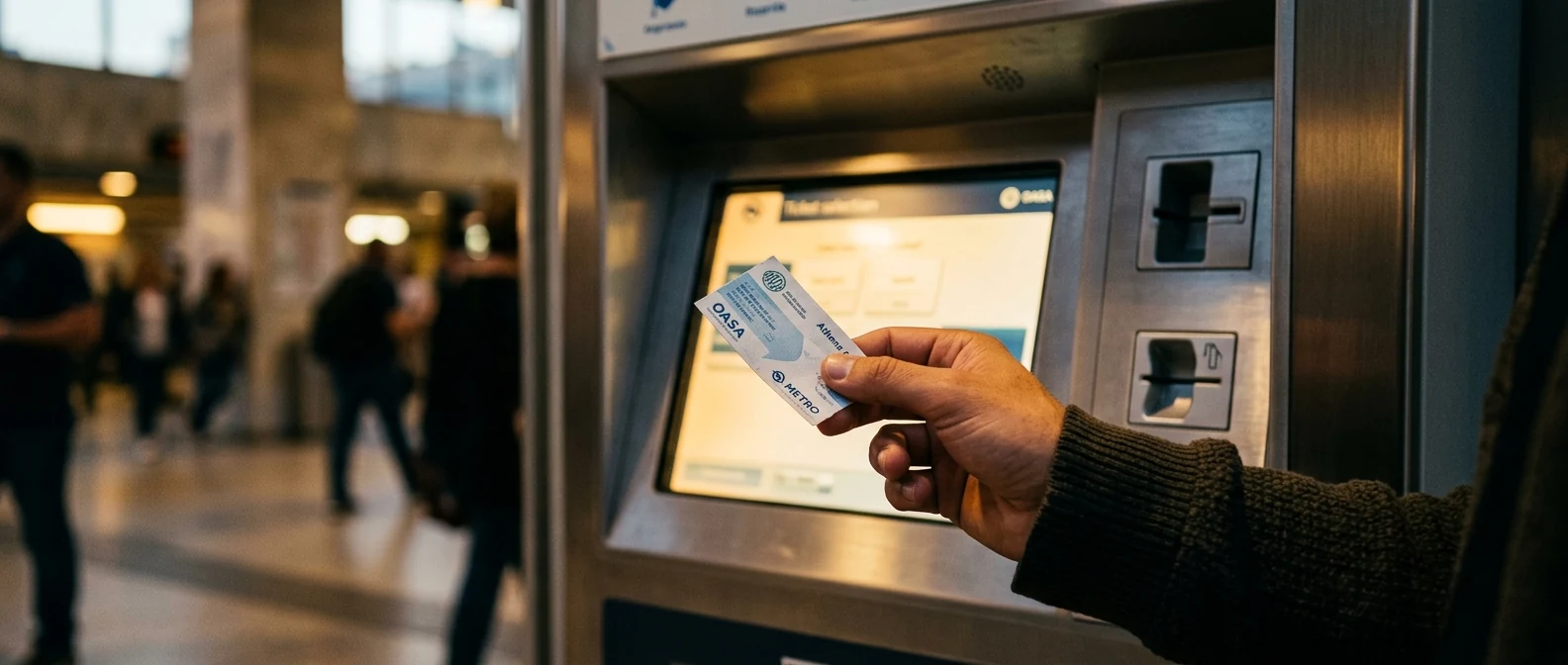
- Syntagma → Larissis Station: 22-25 min walk vs 5 min metro. Take the metro.
- Anywhere → Piraeus: not walkable. Metro or taxi.
- Anywhere → airport: not walkable. Metro, X95, or taxi. (See airport metro guide.)
- Heavy rain or extreme heat: take the metro for anything much longer than a quarter of an hour.
How to get to Angel Athens (Ioulianou 50)
From the main central points:
- From Victoria Square: a short walk toward Ioulianou. The route is simple, but at night it is better to stay on the main lit streets.
- From Omonia: about 12-15 minutes on foot heading north via Patision or 3is Septemvriou. Alternatively, take Line 1 for one stop to Victoria.
- From Syntagma: about 25 minutes on foot if you do not have luggage. By metro, take Line 2 to Omonia and change to Line 1 toward Kifissia for Victoria.
- From Acropolis/Plaka: the walk is possible but tiring in summer heat. By metro, take Line 2 to Omonia and then Line 1 to Victoria.
Frequently asked questions
How long is the actual climb up the Acropolis hill?
From the entrance to the Parthenon, allow about 12-15 minutes at a moderate pace. The stones are polished and need steady footwear. With stops and photos, the total time inside rises quite a bit.
Can children manage the walks?
Yes. The centre is compact, and children aged five and up usually manage 15-minute walks if there is some shade. For younger ones, slow the pace and use cafés as breaks.
Is Plaka really walkable for everyone?
The main pedestrian routes are easier. Anafiotika has steps and narrow lanes, so it is not suitable for everyone. For a more comfortable route, stick to Dionysiou Areopagitou and Adrianou.
Do walking apps work in central Athens?
Walking directions are generally useful, but they do not always capture steps, shade and slopes very well. Around the Acropolis pedestrian zone, follow the street signs as well as the app.
Are there scenic walks beyond the centre?
Yes. Filopappou Hill, Lycabettus Hill and the seafront near Faliro are all rewarding walks, though each adds one or two more hours.
Sources:
— Kathy