🪪 The island at a glance
📍 Where it is
Santorini, officially called Thira, is the southernmost large island of the Cyclades. It lies in the South Aegean, between Ios and Anafi, about 120 kilometres north of Crete. The municipality also includes Therasia, the second inhabited island, and the uninhabited islets of the caldera: Nea and Palea Kameni, Aspronisi and, further south, Christiana.
📍 Where Santorini is
Santorini is the southernmost large island of the Cyclades, in the middle of the South Aegean, about 120 kilometres north of Crete. The shape of the island is shown in red, together with Therasia and the islets of the caldera.
🗺️ The map of the island
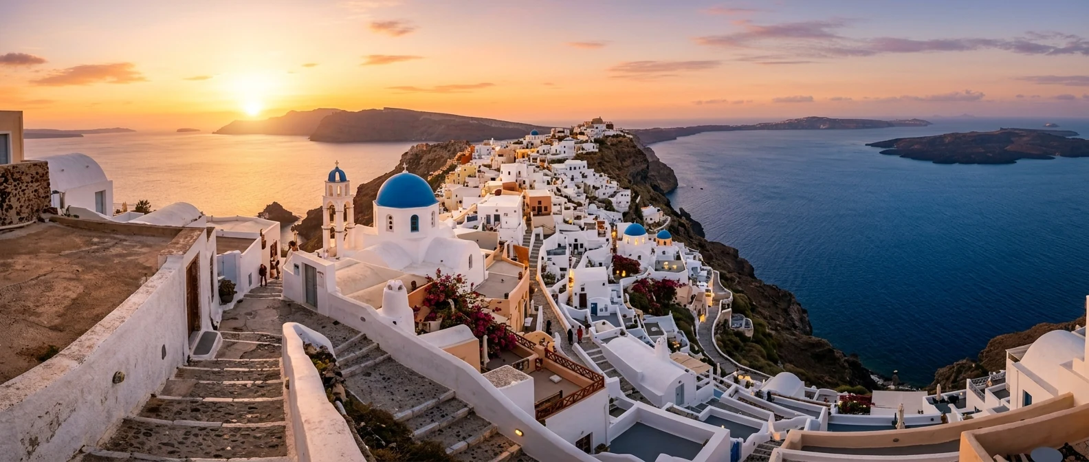
The shape of the island tells its story. Santorini looks like a crescent wrapped around a lagoon: the caldera. The west coast is a cliff up to 300 metres high, with the villages perched along its top: Oia at the northern tip, Imerovigli, Firostefani and Fira in the middle. The east side slopes gently down to the sea, with vineyards, the plain and the big beaches of Perissa and Kamari. In the south rises the mountain of Profitis Ilias, the highest point of the island.
🗺️ The map of Santorini
The island is shaped like a crescent around the sea of the caldera. On the west side, on top of the cliff, are the villages with the view. On the east side, lower down, are the big black-sand beaches. Tap each number to see what it is.
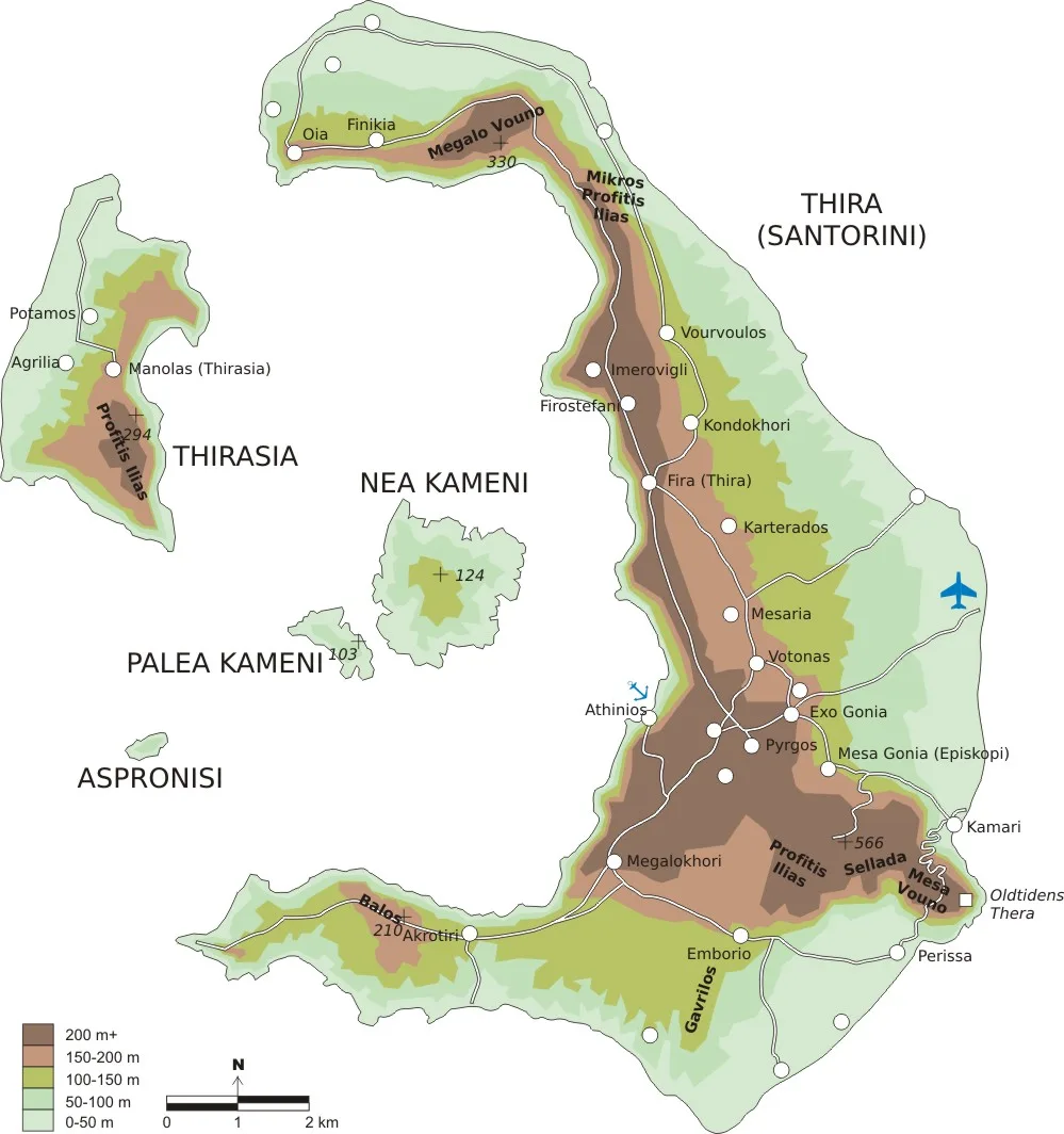
Map: FinnWikiNo (CC BY-SA 3.0) · Wikimedia Commons
⚖️ Is it worth it? The pros and cons
Santorini isn’t for everyone, and it’s better to know that before you book. Here is an honest picture.
📊 At a glance, from 1 to 5
👍 The pros
- The caldera: a landscape unlike any other Greek island.
- Akrotiri, an entire Bronze Age town.
- Sunsets from Oia, Imerovigli or a boat.
- Wines with character, such as Assyrtiko and Vinsanto, and local PDO products.
- Plenty of flights and ferries all year round, even in winter.
👎 The cons
- Crowds from June to September, especially in Oia and Fira.
- Expensive accommodation and food, especially on the caldera.
- The beaches aren’t the strong point: black sand that burns and few sandy bays.
- Cruise ships: on days when many arrive, Fira fills up in the morning.
- Traffic on the roads and difficult parking in summer.
🌋 The eruption that created the caldera
About 3,600 years ago, around 1610 BC, Santorini was a round island with a volcano. Then came the Minoan eruption, one of the biggest eruptions in human history. The volcano blasted tens of cubic kilometres of ash and pumice into the sky, then the centre of the island collapsed and the sea flooded in. What remained is the caldera: Thira, Therasia and Aspronisi are the pieces of the old island.
The volcano didn’t die. Inside the caldera two new islands formed from lava, Palea and Nea Kameni. The last eruption happened on Nea Kameni in 1950. Today the volcano is constantly monitored by scientists. Santorini belongs to the South Aegean volcanic arc, together with Methana, Milos and Nisyros.
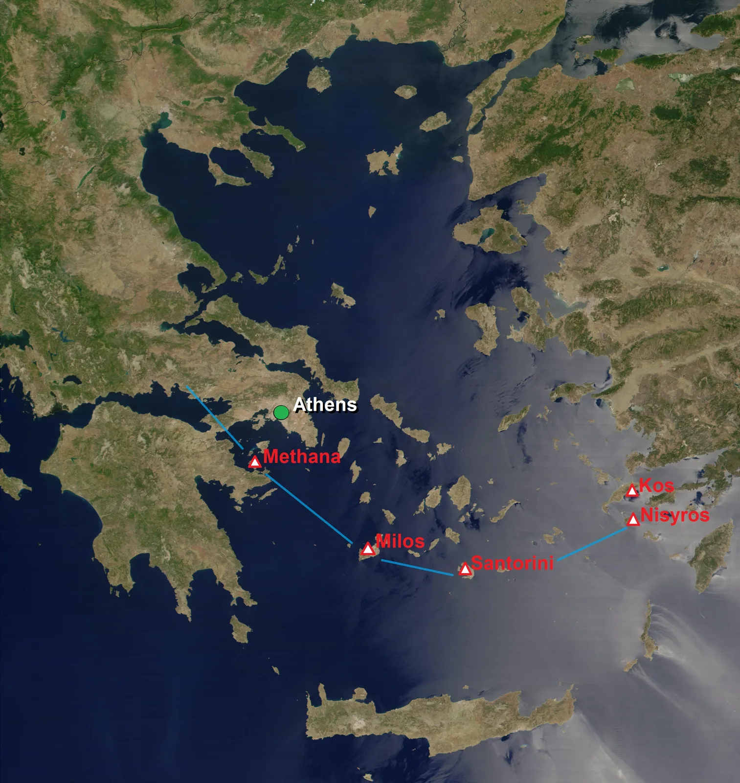
Map: Giorgostr (CC BY-SA 3.0) · Wikimedia Commons
🏘️ Oia and Ammoudi
Oia, at the northern tip of the island, is the postcard image of Santorini: white houses dug into the slope, blue domes, captains’ mansions and windmills. It was a village of seafarers, and many of the old houses are cave houses, dug into the volcanic rock to stay cool.
At sunset, Oia’s castle fills up an hour before the sun goes down. If you want to watch it there, go early. If not, walk down the steps to Ammoudi, the little harbour below Oia, with red rocks and fish tavernas right on the water. From there a path also leads to swimming spots on the rocks opposite Agios Nikolaos.
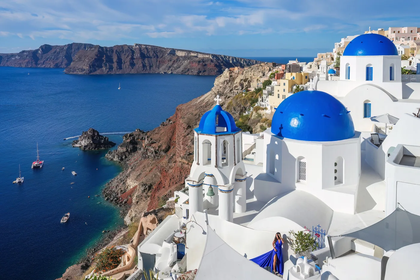
The most photographed sight in Santorini.
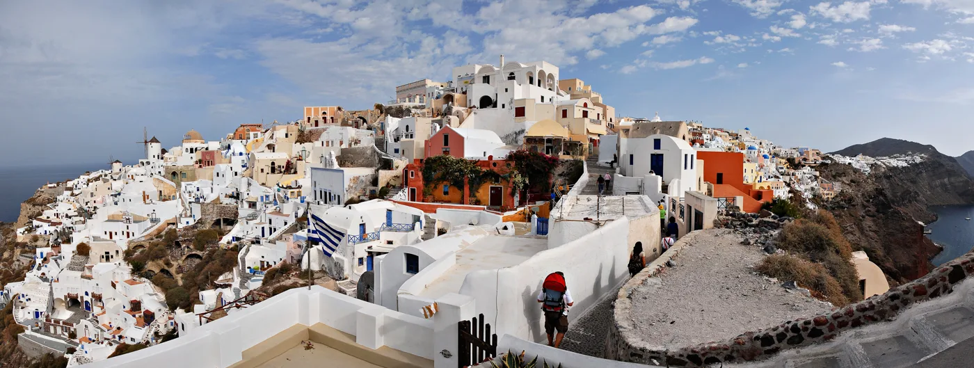
Houses dug into the slope, at the northern tip of the island.
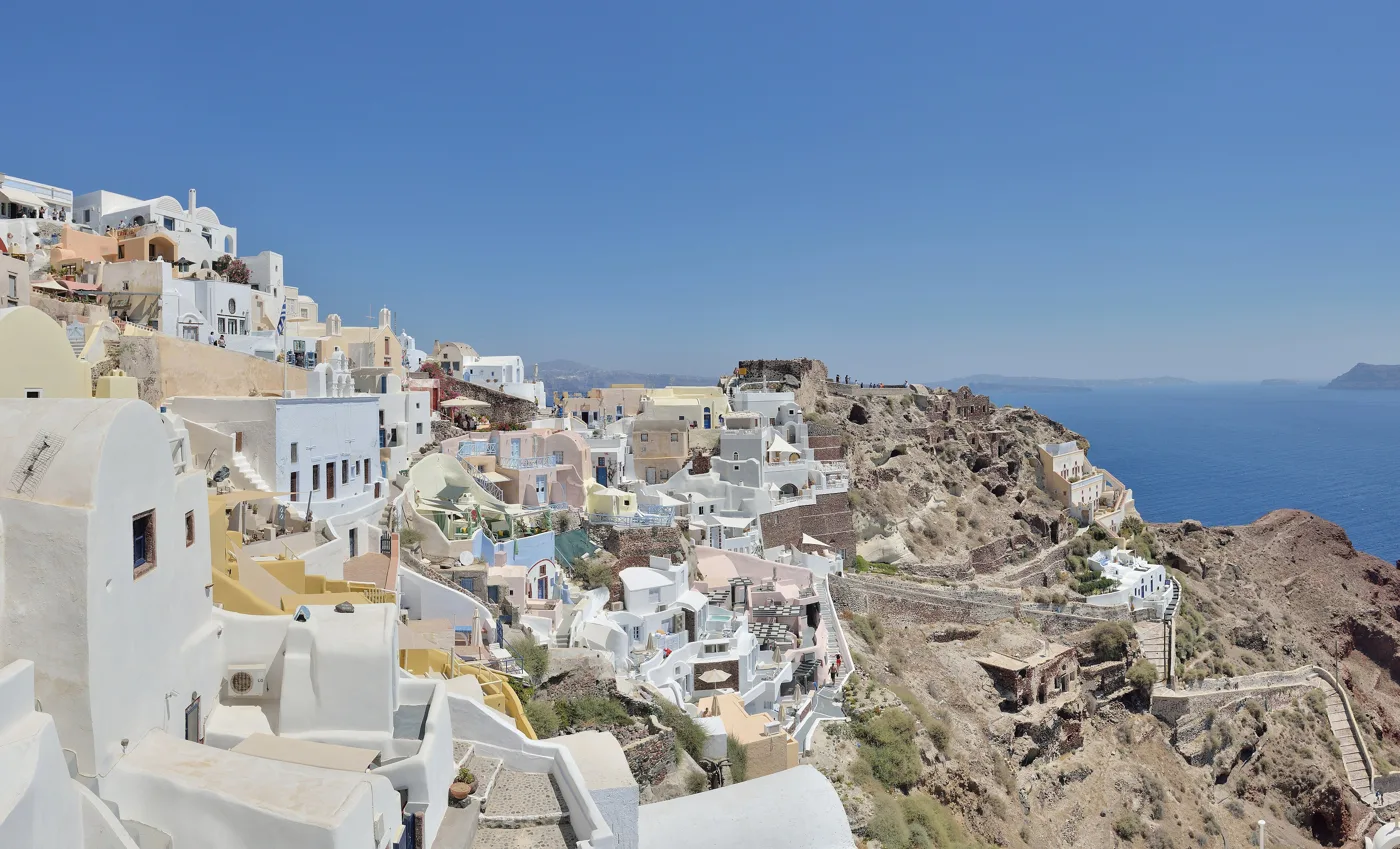
This is where most people watch the sunset.
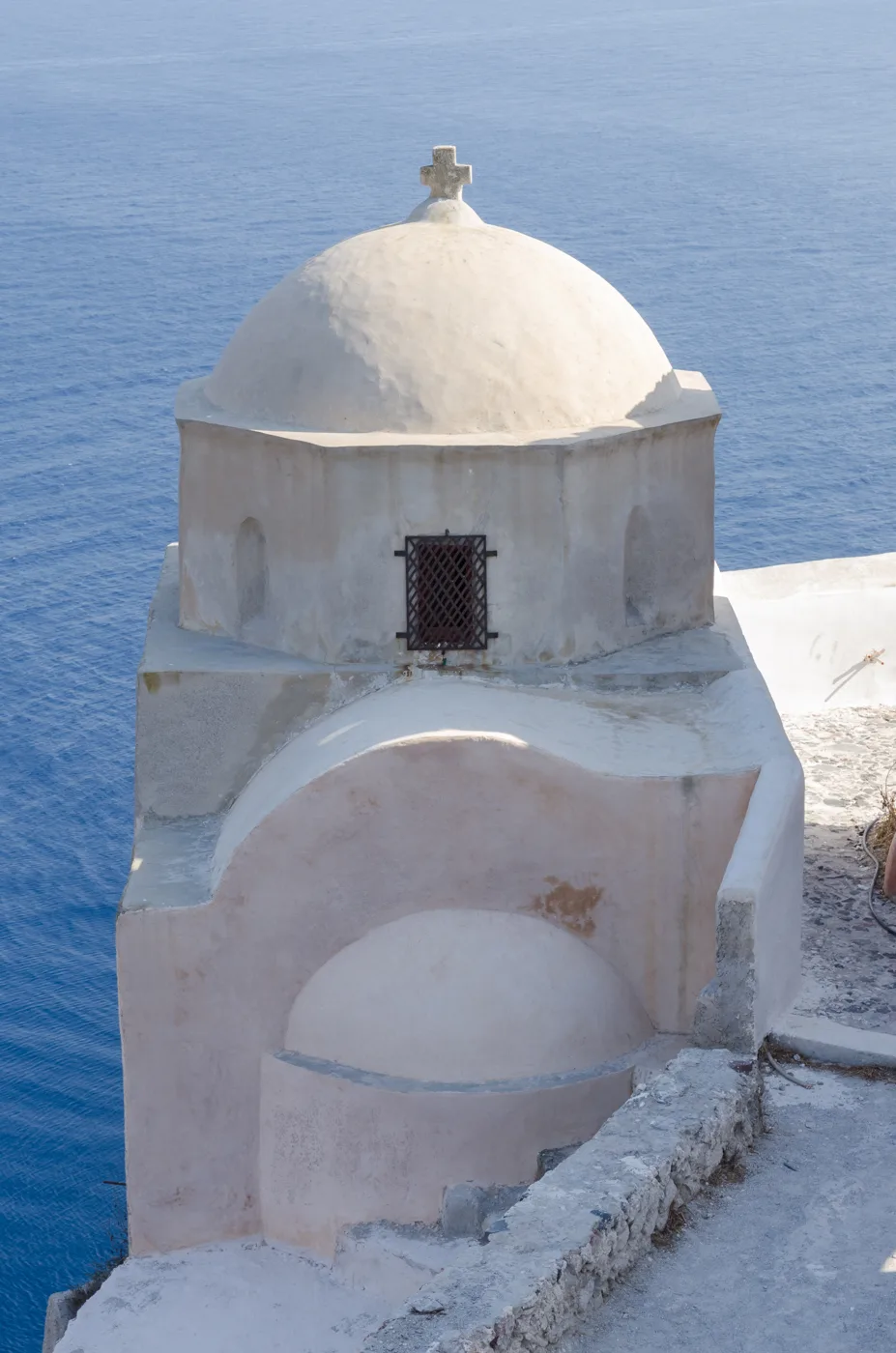
Dozens of chapels, on every corner.
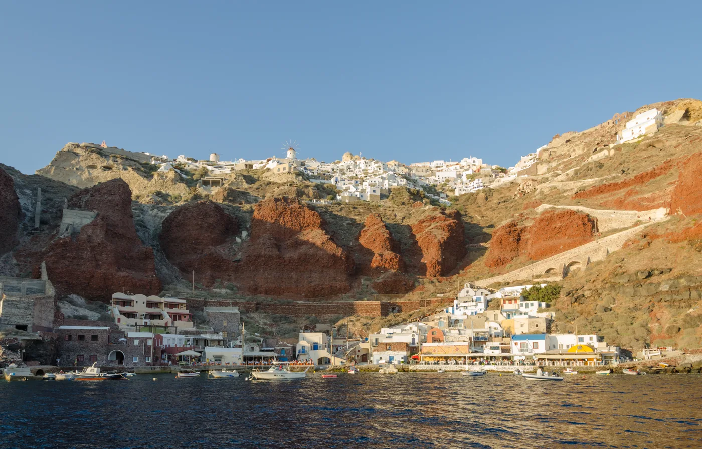
The little harbour below Oia, with fish tavernas.
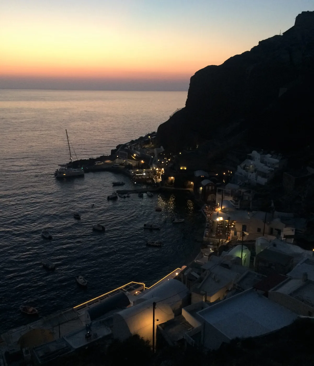
Fresh fish right by the waves.
Photos: Giles Laurent (CC BY-SA 4.0), Mstyslav Chernov (CC BY-SA 3.0), Taxiarchos228 (FAL), Norbert Nagel (CC BY-SA 3.0), Sam Holt (CC BY-SA 4.0) · Wikimedia Commons
🏙️ Fira, Firostefani and Imerovigli
Fira is the capital and hub of the island: the buses start here, most of the shops are here, as well as the Museum of Prehistoric Thera with the Akrotiri frescoes and the cathedral. Below Fira lies the old port, where the cruise ship tenders land. From there you go up by cable car or walk the steps, around 580 of them.
The caldera path links Fira with Firostefani and Imerovigli in an hour’s walk, with views all the way. Imerovigli is the highest point of the caldera. In front of it juts out the rock of Skaros, where the medieval castle and the island’s old capital stood in Venetian times. The path to Skaros is one of the finest short walks in Santorini.
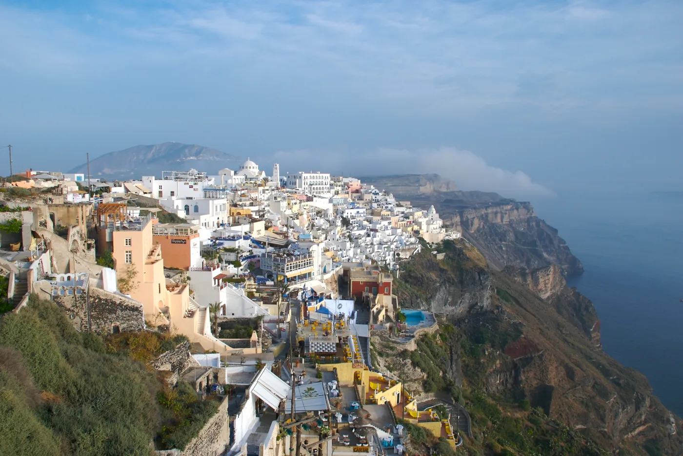
The capital, above the old port.
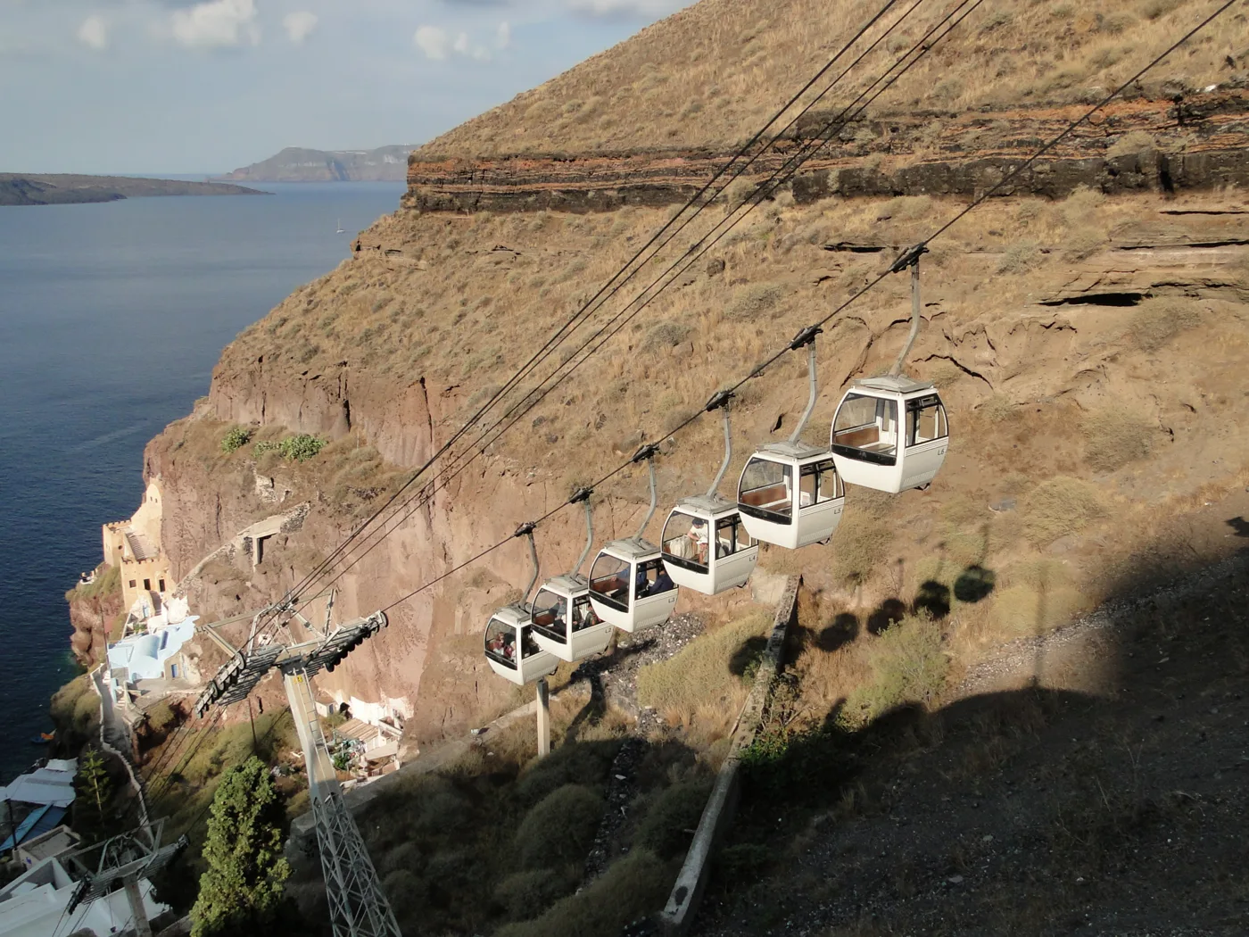
From the old port up to Fira in a few minutes.
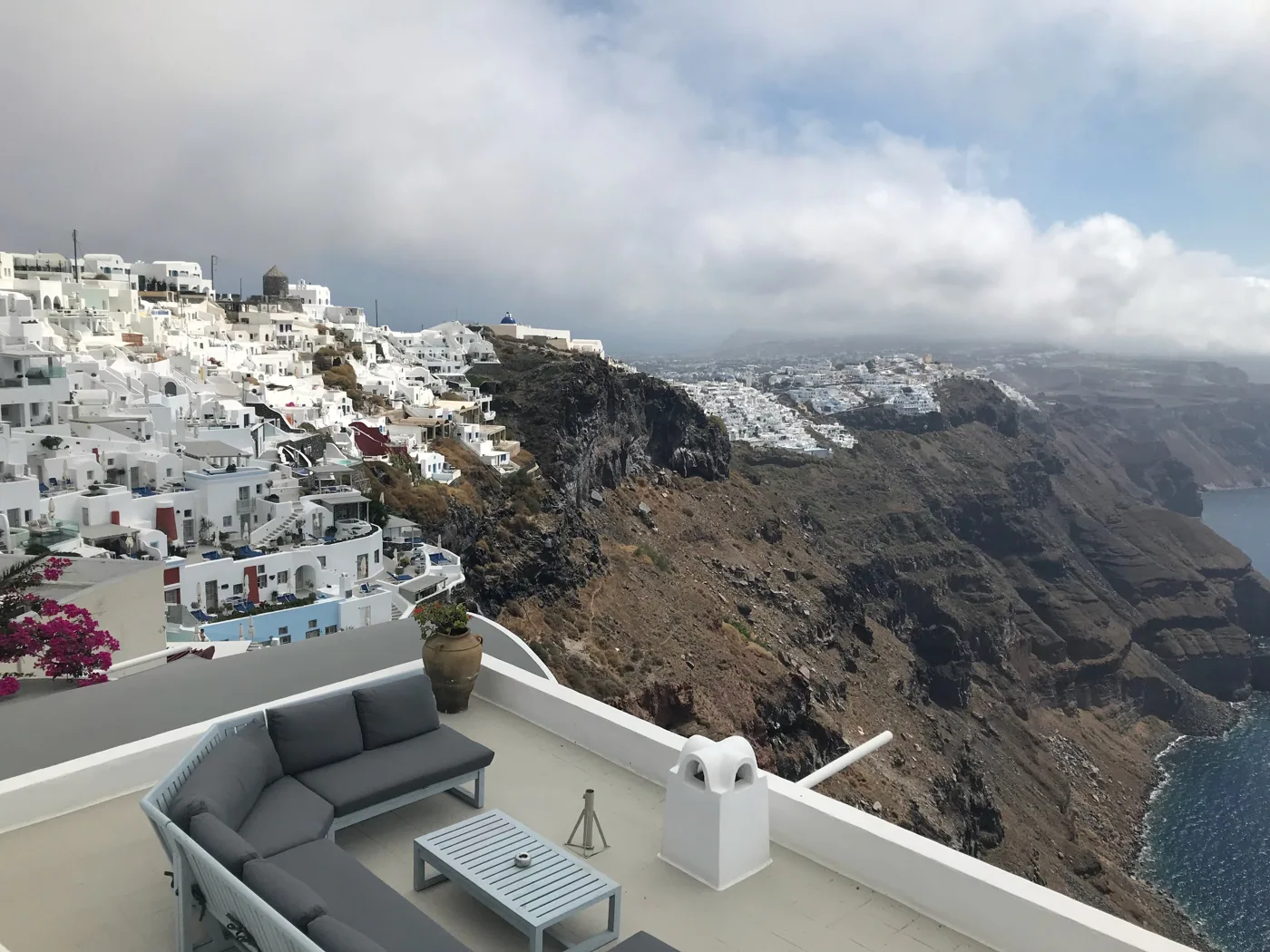
The balcony of the caldera.
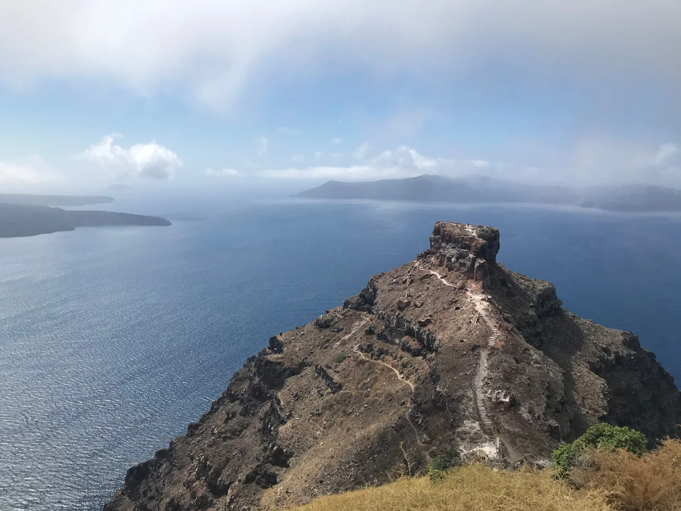
The island’s medieval castle stood here.
Photos: Yoo Chung (CC BY-SA 2.5), Bernard Gagnon (CC BY-SA 3.0), Zde (CC BY-SA 4.0) · Wikimedia Commons
🏡 The villages of the plain: Pyrgos and Megalochori
If you want to see Santorini before tourism, head to the villages inland. Pyrgos is built around a Venetian castle, at the highest point of the plain, with views over the whole island. Its lanes are quiet even in August. Megalochori has arches, bell towers spanning the street and old mansions of the wine producers, and many of its cellars are wineries today. Emporio, with its medieval «Kasteli», is also worth a visit.
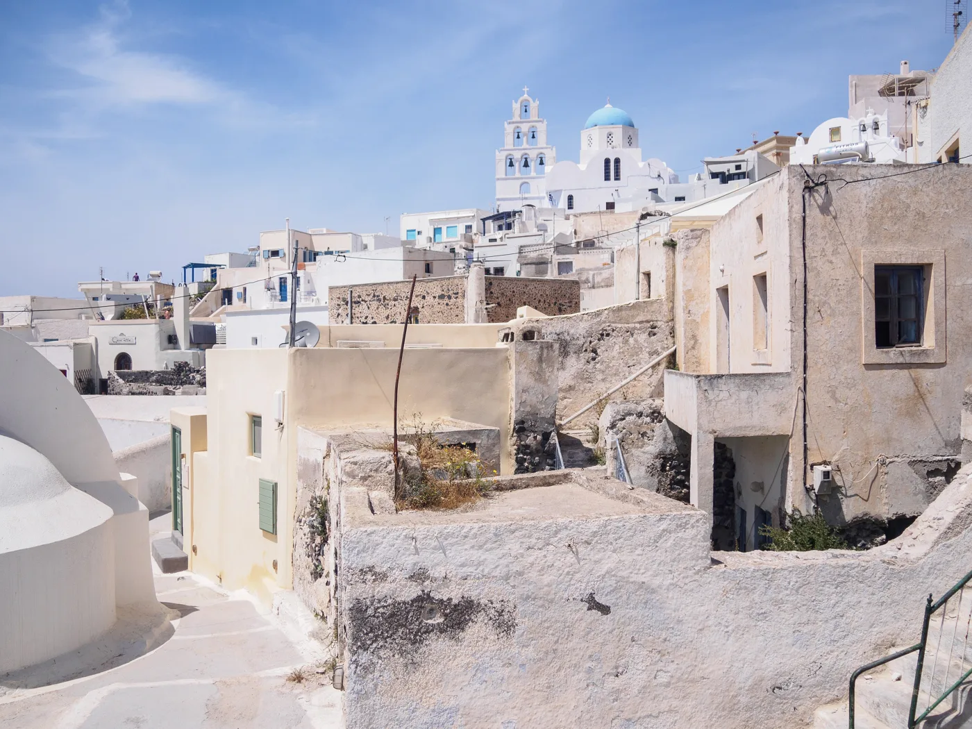
The old village at the highest point of the plain.
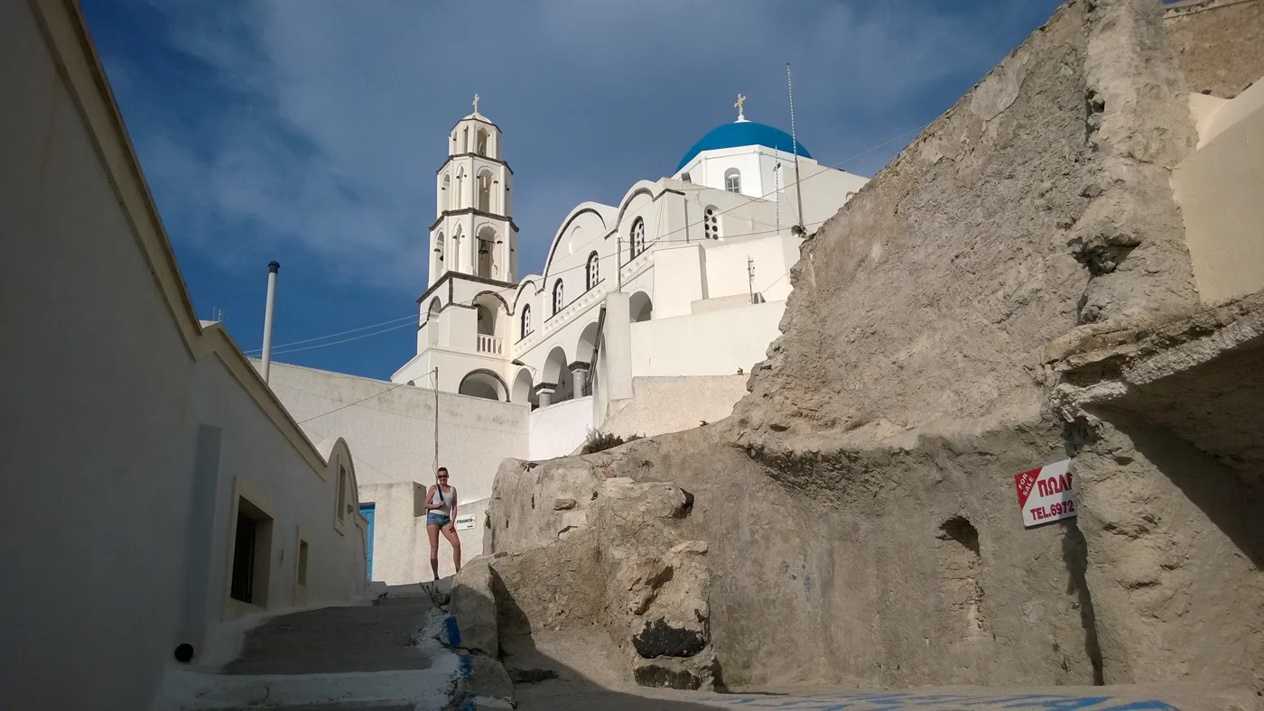
A castle, churches and few people.
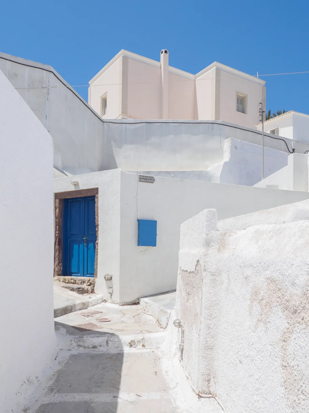
Arches, bell towers and old mansions.
Photos: C messier (CC BY-SA 4.0), Jan M (CC BY-SA 3.0) · Wikimedia Commons
🏺 Akrotiri and Ancient Thera
Akrotiri is the most important reason to go to Santorini, even if archaeology isn’t really your thing. It’s an entire Bronze Age town, with two- and three-storey houses, paved streets and drains, buried under the ash of the Minoan eruption. Excavations were started by Spyridon Marinatos in 1967 and continued by Christos Doumas. No skeletons were found: the inhabitants managed to leave, probably after earthquakes that came before the eruption. The site is covered and you walk on raised walkways. Allow an hour and a half. The famous frescoes are in the Museum of Prehistoric Thera in Fira and in the National Archaeological Museum in Athens.
Ancient Thera is a much later town, built on top of Mesa Vouno, between Kamari and Perissa. You’ll see ruins of temples, a theatre and houses from Hellenistic and Roman times, with views over both beaches. You get up there by car or on foot from Kamari, on a road with many hairpin bends.
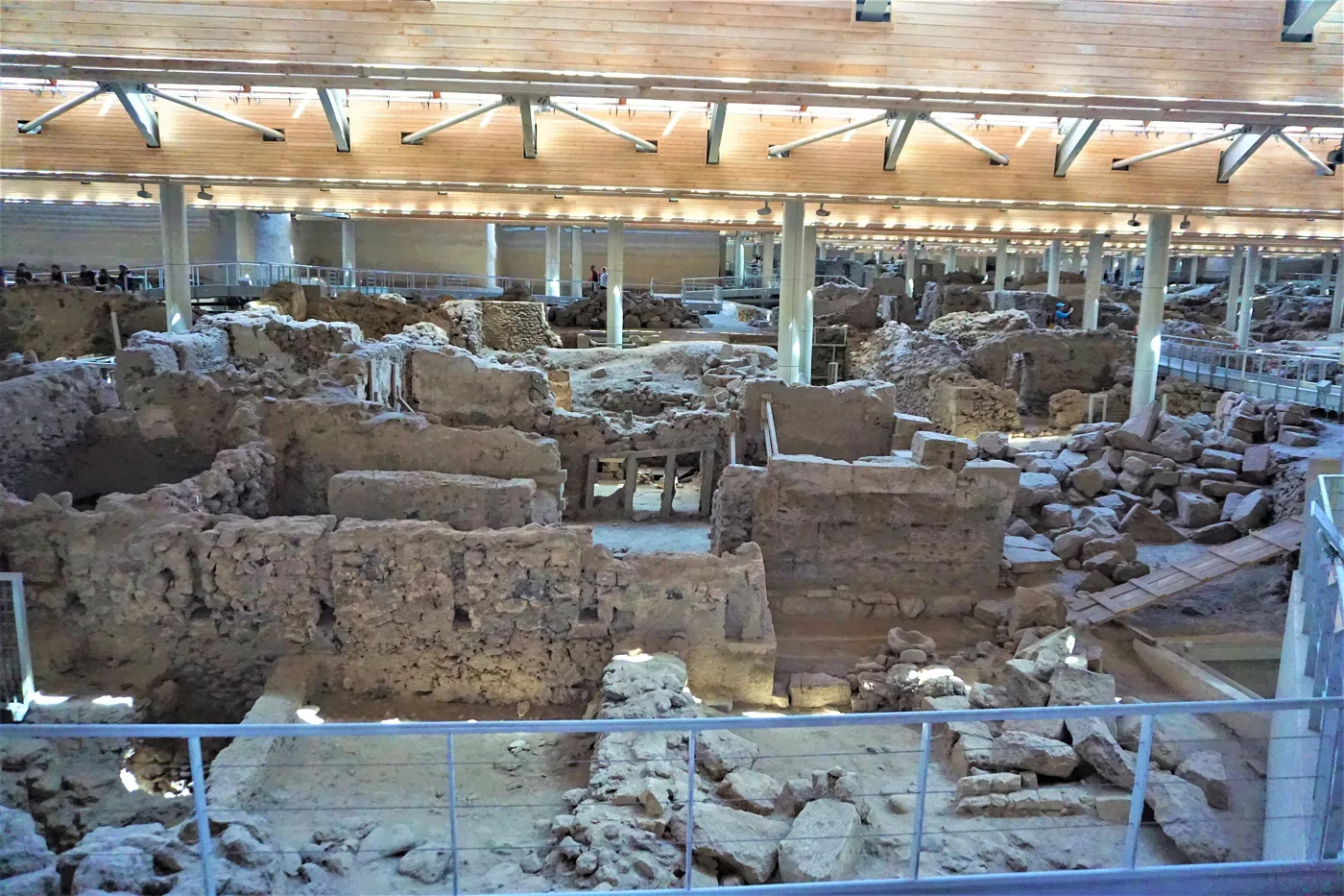
A Bronze Age town under the pumice.
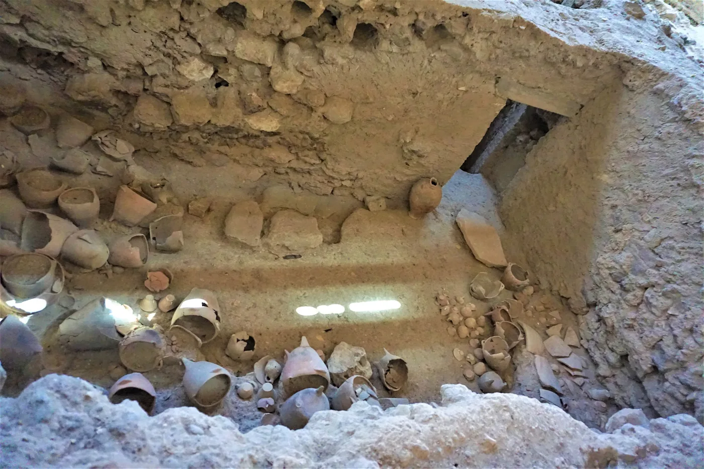
The jars stayed where the inhabitants left them.
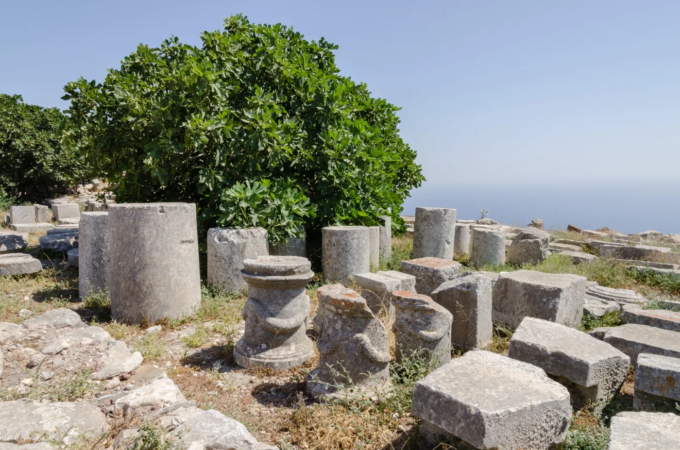
Ruins on the mountaintop, above Kamari.
Photos: Joyofmuseums (CC BY-SA 4.0), Norbert Nagel (CC BY-SA 3.0) · Wikimedia Commons
🏖️ The beaches
Santorini’s beaches are different from the rest of the Cyclades. The sand is black or dark from the volcano, it gets very hot at midday, and the water gets deep quickly. You won’t find golden sandy beaches, but you will find landscapes that exist nowhere else.
- Red Beach: a red cliff above a pebble beach, near Akrotiri. Access is often closed because of landslides, so respect the signs and enjoy it from the viewpoint above.
- Perissa and Perivolos: a long black-sand beach with beach bars and tavernas, on the south coast.
- Kamari: the big beach on the east coast, with a seafront promenade, organised and close to the airport.
- Vlychada: pumice rocks carved by the wind into strange shapes, and usually fewer people.
- White and Black Beach: small beaches near Red Beach, which you reach mainly by small boat from Akrotiri.
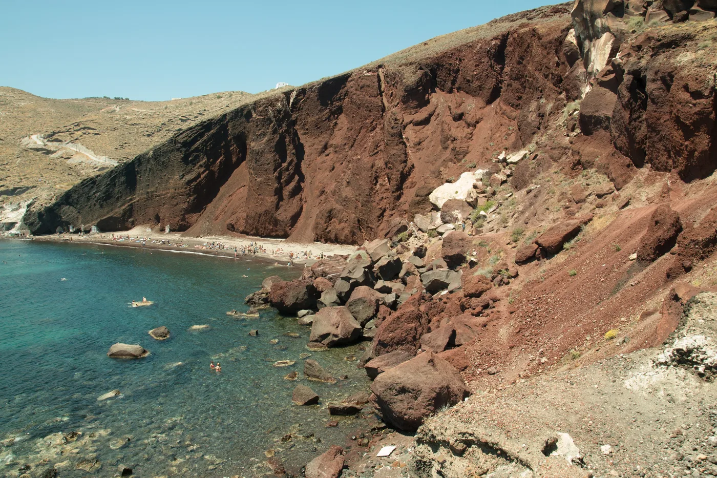
A red cliff and pebbles, next to Akrotiri.
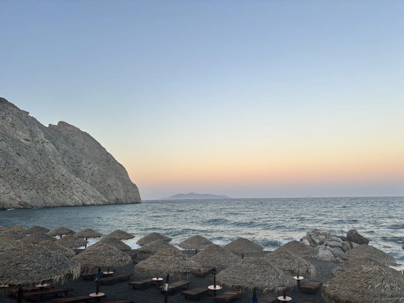
Black sand, below Mesa Vouno.
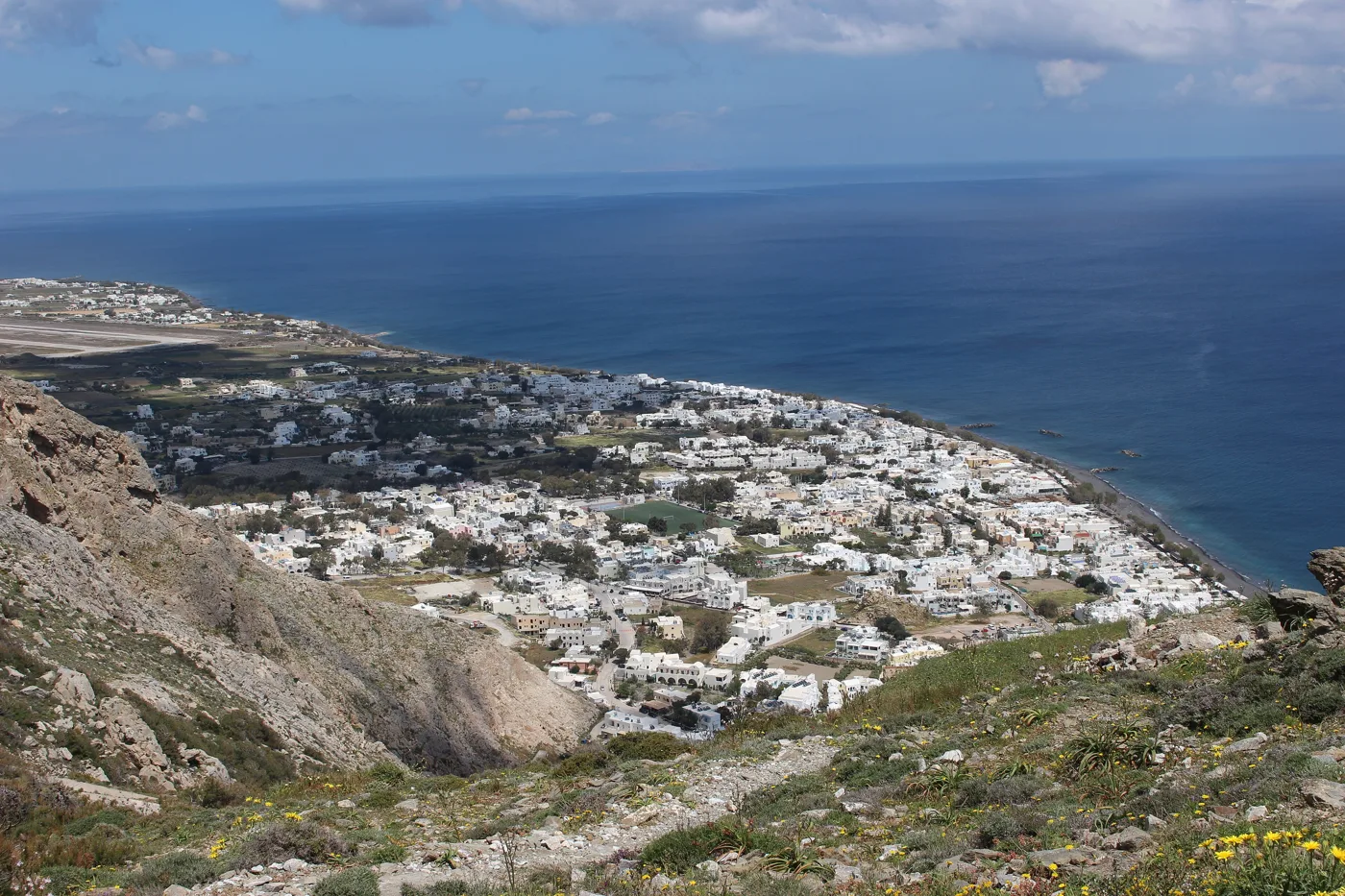
The big beach of the east coast.
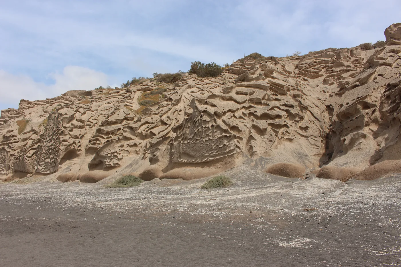
Rocks like sculptures, carved by the wind.
Photos: Zde (CC BY-SA 4.0), PCN02WPS (CC BY-SA 4.0), ArticCynda (CC BY-SA 4.0) · Wikimedia Commons
⛵ By boat to the volcano
The classic Santorini excursion is a boat trip inside the caldera. Most leave from the old port of Fira or from Ammoudi. On Nea Kameni you walk uphill for about half an hour, over black lava and grey ash, to the crater. Bring water, a hat and closed shoes. There’s usually a stop at the hot springs of Palea Kameni, where you swim in warm water, brown from iron, that smells of sulphur. Many trips end with a meal on Therasia or a sunset from the sea, far from the crowds of Oia.
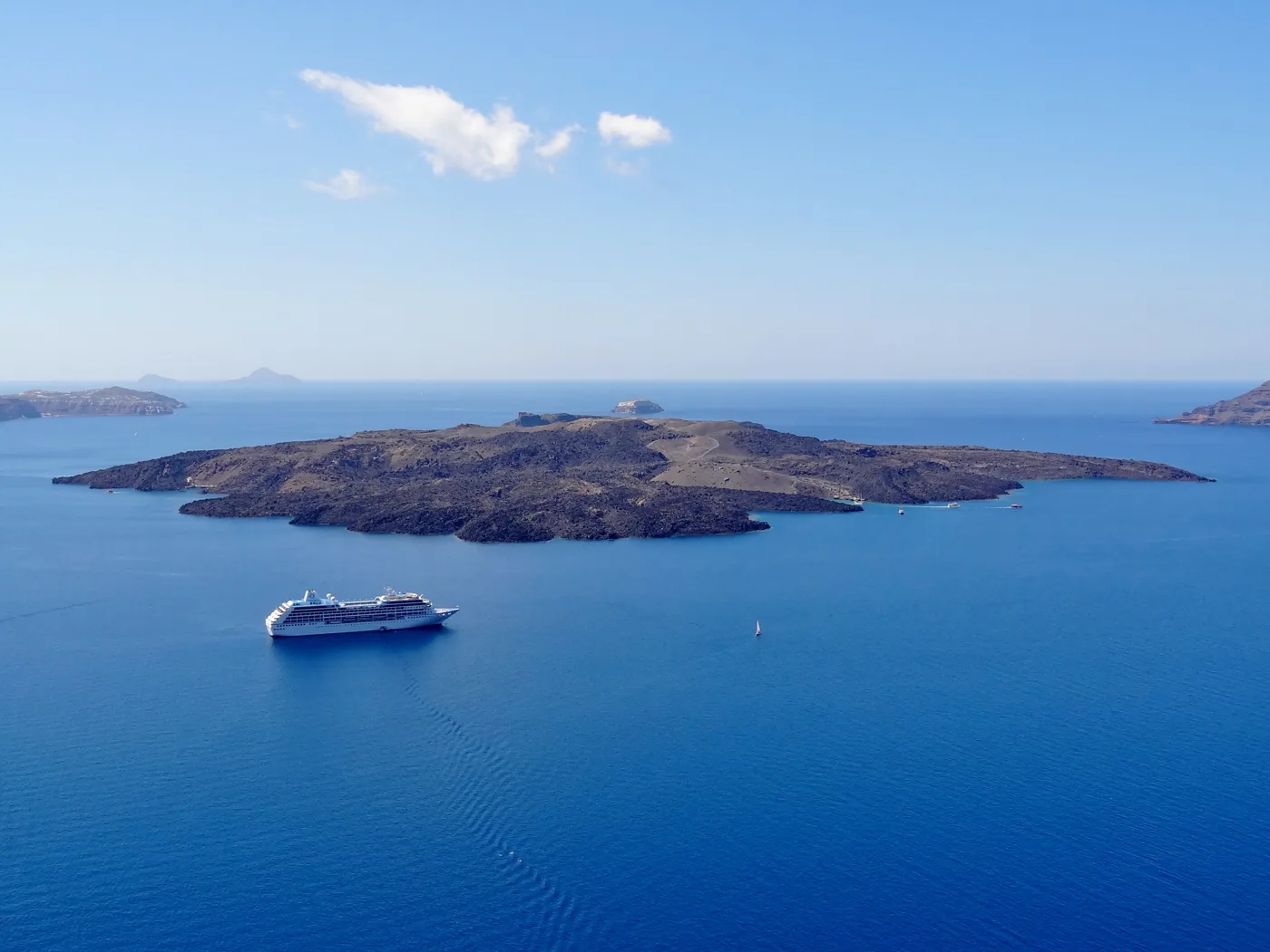
The volcano, in the middle of the caldera.
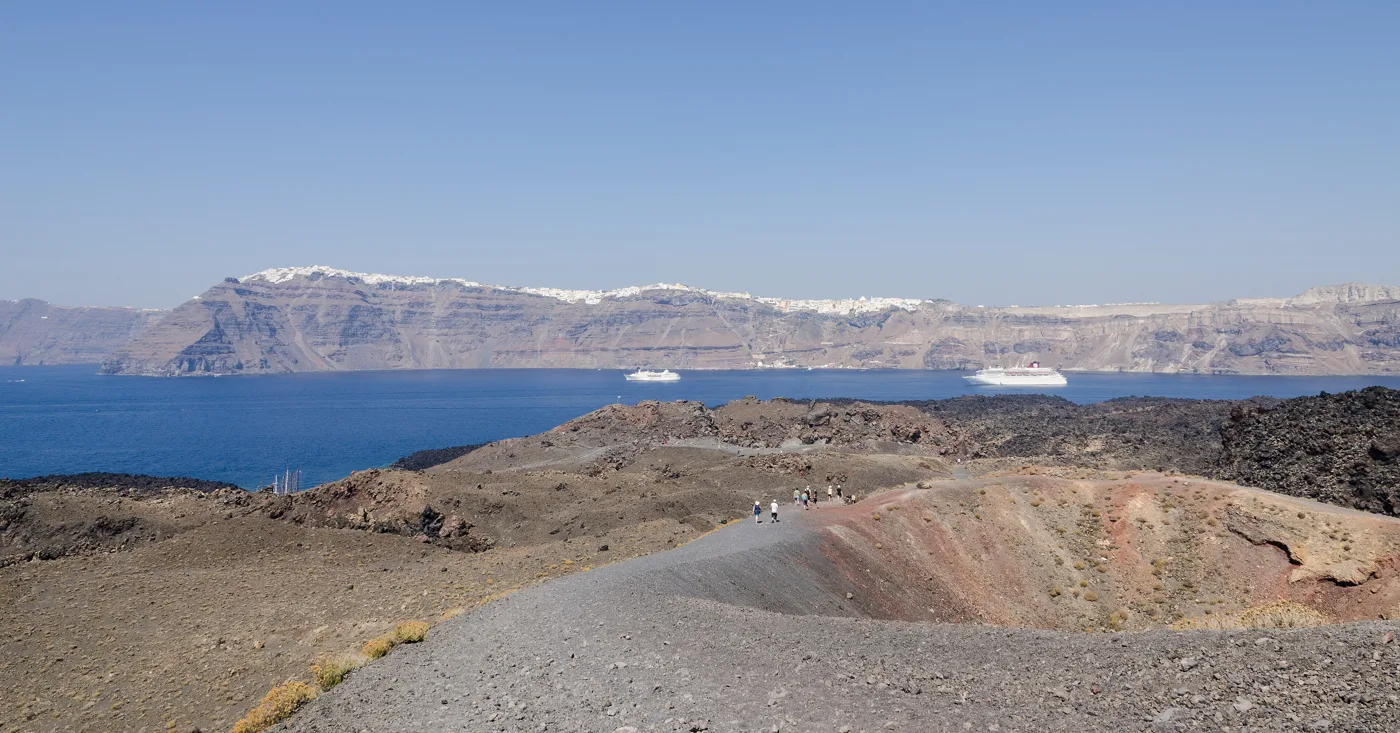
You walk on lava and ash.
Photos: Olaf Tausch (CC BY 3.0), Norbert Nagel (CC BY-SA 3.0) · Wikimedia Commons
🍷 Wine and food
Santorini is one of the most important wine regions in Greece. The soil is volcanic, it hardly rains and the wind blows hard, so the vines don’t grow tall. Growers weave them into a basket shape, the kouloura, so the grapes stay inside, protected from the wind. The main grape is Assyrtiko: it makes a dry white wine with sharp acidity and a salty taste. Vinsanto is a sweet wine made from sun-dried grapes. Both are PDO Santorini wines. Many wineries on the island offer tastings, and most need a booking in summer.
At the table, try Santorini fava and Santorini cherry tomatoes, both PDO products, tomato fritters, white aubergine and chloro, a fresh goat’s cheese.
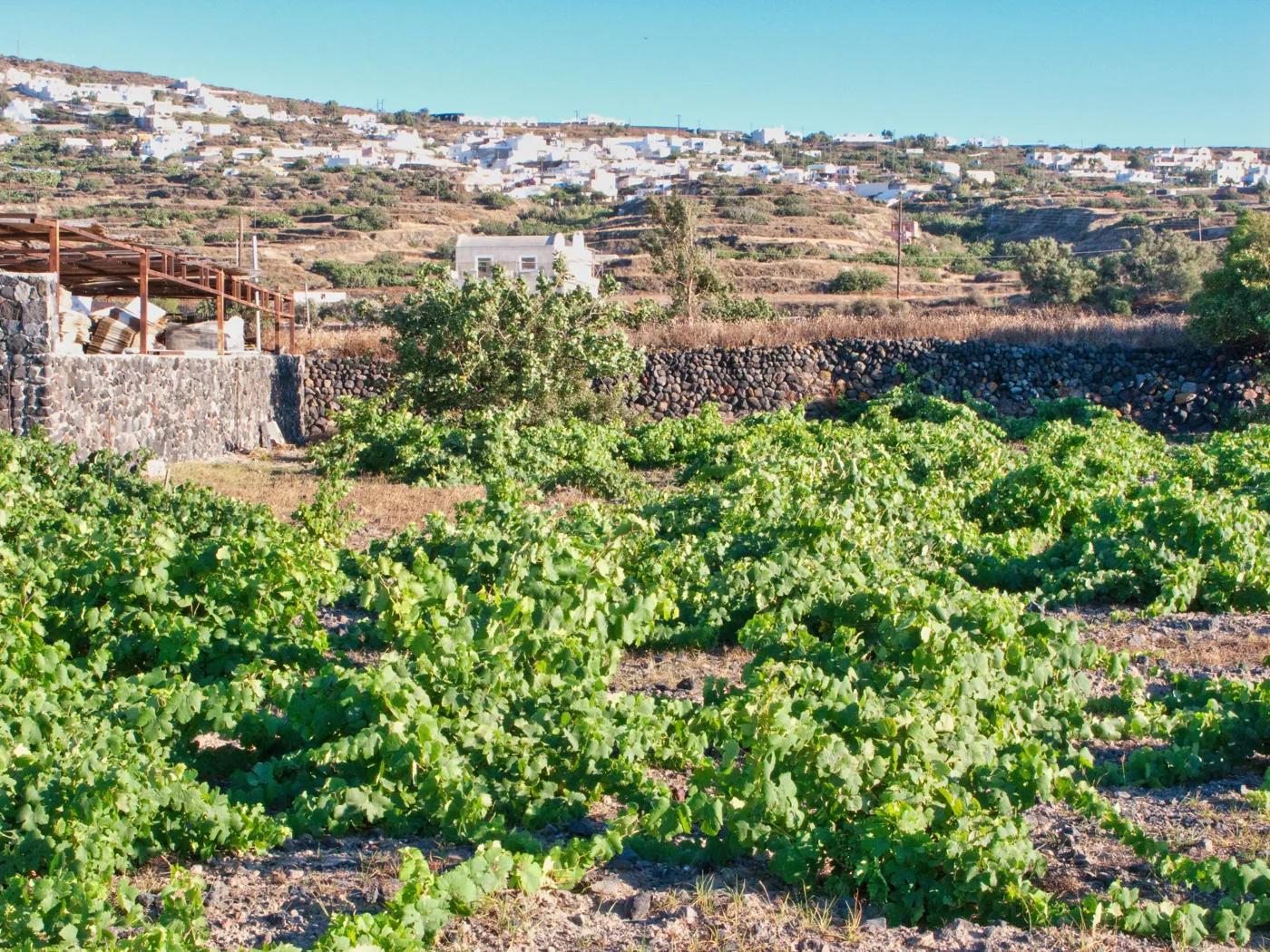
Low, so they can stand up to the wind.
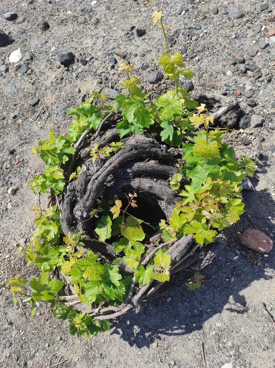
The vine is woven like a basket around the grapes.
Santorini fava is a PDO product.
Photos: Treephoto (CC BY-SA 4.0), AkatsukiKuro (CC0), Klearchos Kapoutsis (CC BY 2.0) · Wikimedia Commons
📅 When to go
The best time is May and from mid-September to October: the sea is warm, the days are long and there are fewer people. In July and August it’s hot, the meltemi wind often blows and the caldera villages are packed. In winter the island is quiet and many hotels and restaurants close, but the view stays the same and prices drop a lot.
On days when many cruise ships arrive, Fira and Oia are packed from morning to afternoon. Since 2025 cruise passengers pay a fee of 20 euros to disembark on Santorini in the summer months. If you can, visit Fira early in the morning or late in the afternoon.
⛴️ How to get there from Athens
| How | Duration | From | Notes |
|---|---|---|---|
| ✈️ Plane | About 50 minutes | Athens airport | Many flights a day in summer, fewer in winter. |
| 🚤 Fast ferry | 5–6 hours | Piraeus | Faster, but rolls when it’s windy. |
| ⛴️ Conventional ferry | 7–8 hours | Piraeus | Cheaper and steadier, with stops at other islands. |
From Ioulianou 50, Piraeus is easy: Line 1 from Victoria to the end of the line, no change. For the airport, take Line 1 to Monastiraki and then Line 3 towards the Airport, about an hour in total. Ferries arrive at the port of Athinios, below the cliff, and buses go up to Fira from there. See our guide to ferries from Piraeus.
🚌 Getting around the island
- KTEL buses: they leave from Fira for Oia, Kamari, Perissa, Akrotiri, Pyrgos and the port. They’re cheap but fill up in summer.
- Car: handy for beaches, villages and wineries. Parking in Fira and Oia is difficult.
- Quad bikes and scooters: for rent everywhere, but the roads are narrow, with sharp bends and heavy traffic. Take care.
- Taxis: there are few for so many people. Book a transfer in advance for the port and the airport.
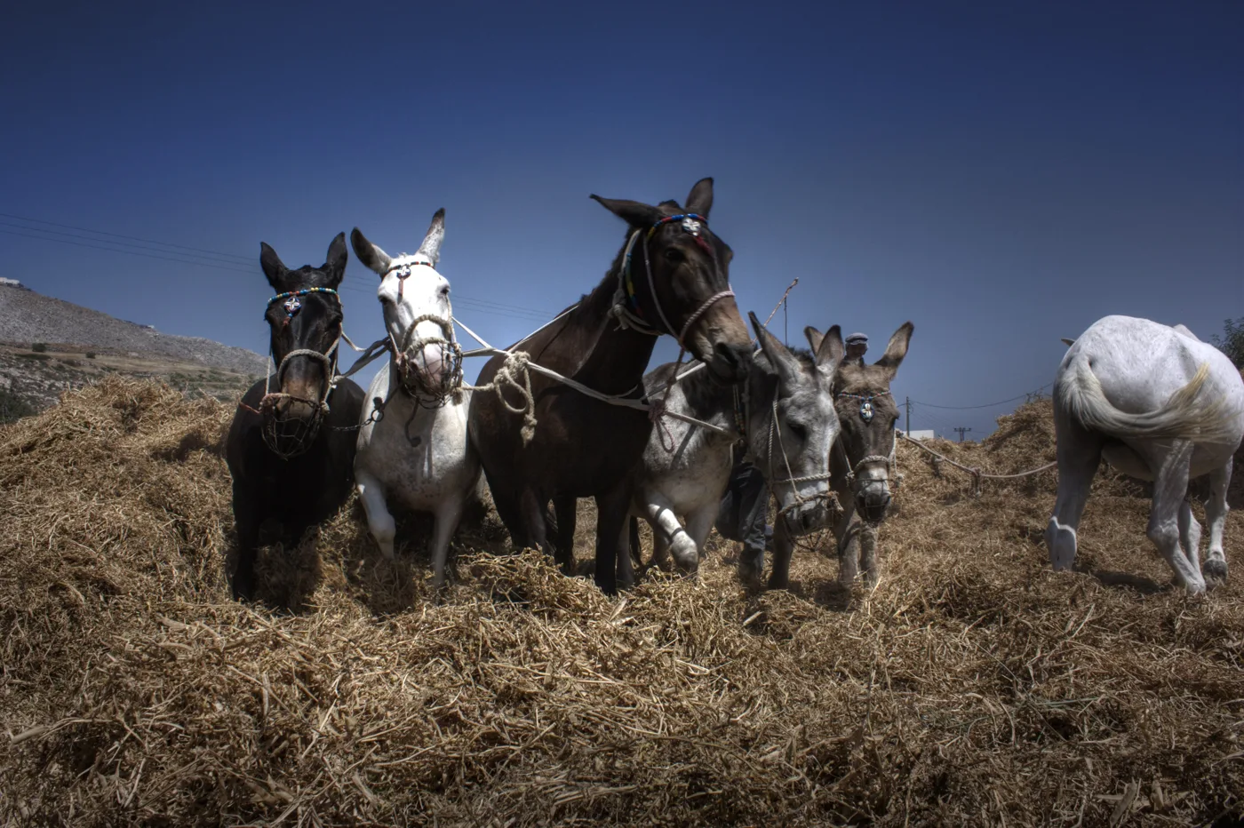
In Fira, donkey rides up the steps from the old port are still on offer. The animals get very tired in the heat, and the issue has drawn the attention of the authorities and animal welfare groups. Take the cable car or walk.
🛏️ Where to stay
| Region | For whom | Good to know |
|---|---|---|
| Fira | First visit, no car | Bus hub, lots of shops, lots of people. |
| Firostefani, Imerovigli | Couples, caldera views | Quieter than Fira, expensive rooms with a view. |
| Oia | A special occasion | Magical in the evening, but crowded and expensive. |
| Kamari, Perissa | Families, the beach, lower costs | By the sea, without a caldera view. |
| Pyrgos, Megalochori | Peace, wine, a car | Authentic villages in the middle of the island. |
🗓️ A three-day itinerary
Fira, Imerovigli and the sunset
Walk the caldera path from Fira to Firostefani and Imerovigli, about an hour. Climb Skaros and watch the sunset from there, with fewer people than in Oia.
Akrotiri, Red Beach and wine
Morning at Akrotiri, before it gets hot. See Red Beach from the viewpoint and swim at Vlychada or Perissa. In the afternoon, a wine tasting at a winery near Pyrgos or Megalochori.
The volcano by boat, and Oia
A boat trip to Nea Kameni and the hot springs. In the afternoon go up to Oia, walk down the steps to Ammoudi for fish and come back after sunset, when the crowds leave.
Frequently asked questions
How many days do I need?
Three days are enough for the essentials: the caldera, Akrotiri, the volcano and a winery. With five days you also have time for beaches without rushing.
Can I go for a day from Athens?
By plane, technically yes, but it isn’t worth it. The journey takes up half the day. Stay at least two nights.
Is it safe to go, given there’s a volcano?
Yes. The volcano and the area’s earthquakes are constantly monitored by scientists, and the authorities issue updates when needed. Before you travel, take a look at the announcements of the Greek authorities.
Where can I watch the sunset without crowds?
From Imerovigli or Skaros, from the lighthouse at Akrotiri or from a boat inside the caldera.
Is Santorini worth it in winter?
For walks, views and peace and quiet, yes. For swimming and nightlife, no: many places close from November to March.
— Kathy