🪪 The island at a glance
📍 Where it is
Naxos lies in the centre of the Cyclades, in the South Aegean. Very close to the west is Paros, to the north Mykonos and Delos, and to the southeast the Small Cyclades: Koufonisia, Iraklia, Schinoussa and Donoussa, which belong to the same municipality. At about 430 square kilometres, it is the largest island of the group.
📍 Where Naxos is
Naxos lies in the centre of the Cyclades, east of Paros and south of Mykonos. In red you can see the shape of the island, the largest in the Cyclades. Ferries leave from Piraeus.
🗺️ The map of the island
Naxos is shaped like a pear, with a spine of mountains running north to south. The highest peak is Mount Zas, at around 1,000 metres the highest point in the Cyclades. The west coast is low, with Chora, the airport and a string of long sandy beaches. In the centre there are fertile valleys with olive trees and orchards and the mountain villages. The east coast is steeper and emptier, with few settlements, such as Moutsouna.
🗺️ The map of Naxos
Chora and the long sandy beaches are on the west coast. The mountains rise in the centre, with the mountain villages around Mount Zas. In the north, at Apollonas, lies the great kouros. Tap each number to see what it is.
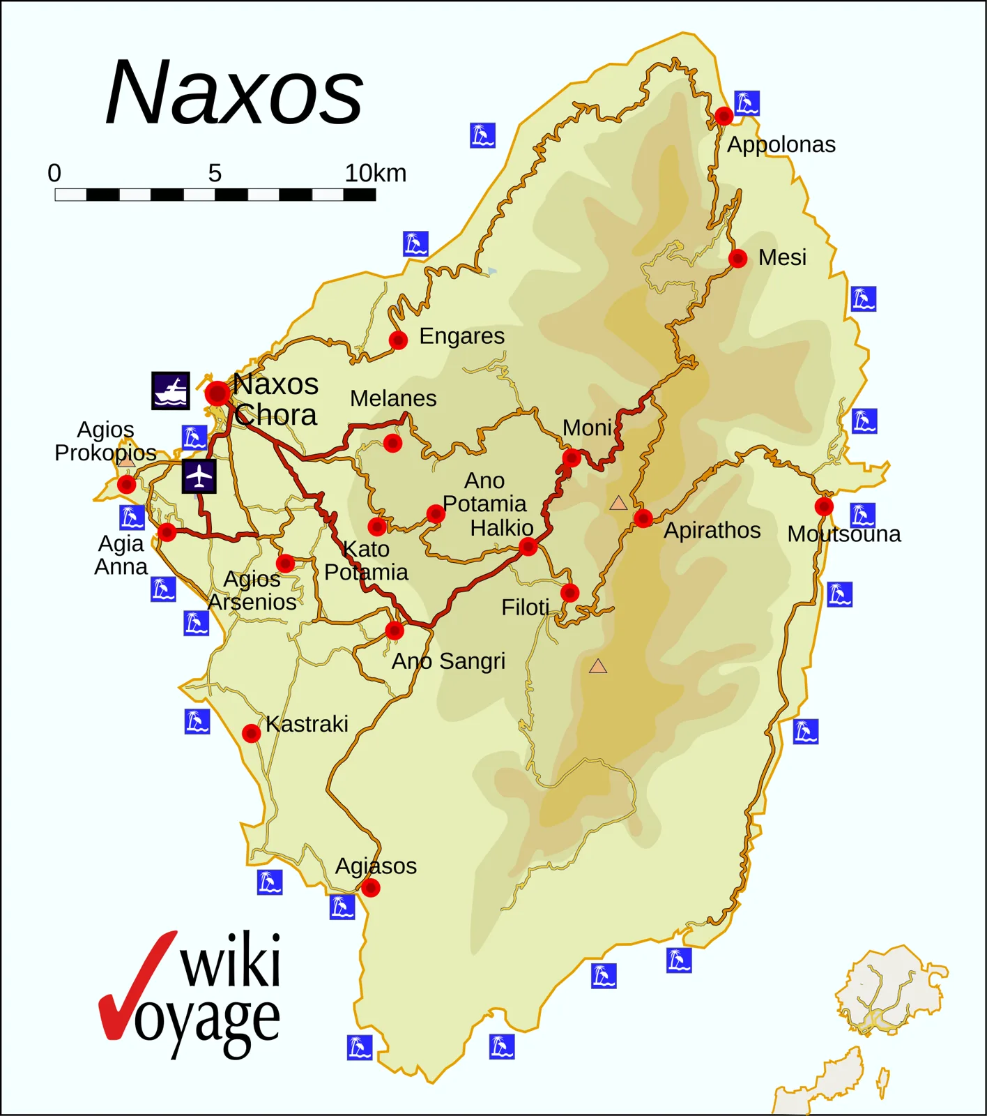
Map: Bgabel / Wikivoyage (CC BY-SA 3.0) · Wikimedia Commons
⚖️ Is it worth it? The pros and cons
Naxos is one of the most complete islands in Greece, but it does not suit everyone. Here is an honest picture.
📊 At a glance, from 1 to 5
👍 The pros
- Long sandy beaches with shallow water on the west coast, ideal for children.
- Mountain villages with marble, squares and life all year round.
- Ancient sites everywhere: the Portara, the kouroi, the Temple of Demeter.
- Some of the best food in the Cyclades: PDO cheeses, potatoes, meat.
- More reasonable prices than Mykonos and Santorini.
👎 The cons
- A big island: without a car you only see part of it.
- Chora and the nearby beaches fill up in August.
- The meltemi blows hard, especially on the west coast in the afternoon.
- The nightlife is mellow, not for those looking for clubs.
- The mountain roads are narrow and full of bends.
📜 A little history
According to myth, it was on Naxos that Theseus left Ariadne after defeating the Minotaur, and there Dionysus found her and married her. The god of wine became the island’s protector. In prehistory Naxos was a centre of the Cycladic civilisation, and its marble travelled all over the Aegean. In the 6th century BC it was one of the richest Greek cities, in the time of the tyrant Lygdamis, who began the temple of the Portara.
In 1207 the Venetian nobleman Marco Sanudo took the island and became duke of the Duchy of the Archipelago, with Naxos as its capital. He built the Kastro on the hill of the ancient acropolis, and much of the marble of the Temple of Apollo ended up in its walls. Venetian rule lasted until the 16th century, when the island passed to the Ottomans. The old Catholic families still live in the Kastro.
🏛️ Chora and the Portara
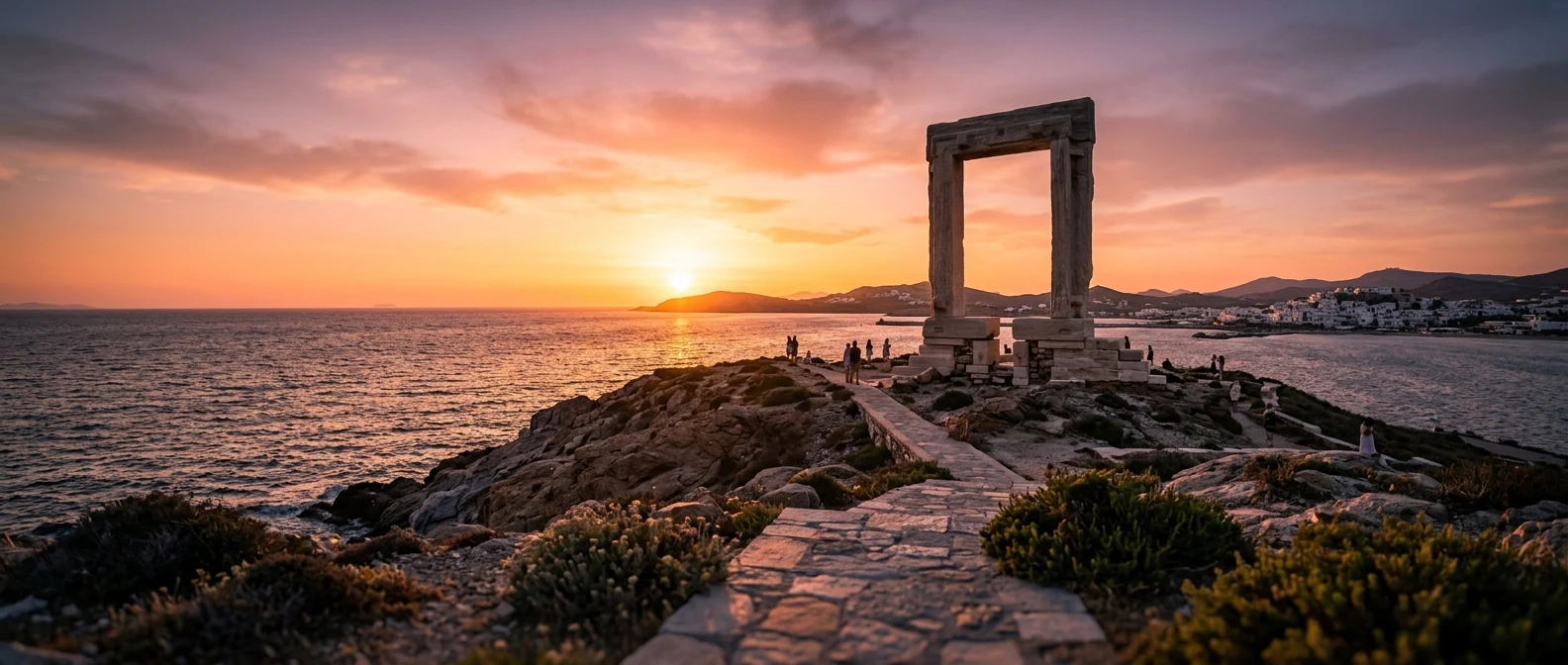
The first thing you see as the ferry arrives is the Portara, a marble doorway almost six metres high on the islet of Palatia, linked to Chora by a narrow causeway. It is the entrance of a Temple of Apollo that was begun around 530 BC and never finished. The doorway stayed standing because it was too heavy to carry away. At sunset the whole of Chora walks out there.
Above the harbour, Chora climbs through narrow alleys up to the Kastro, the Venetian town with its mansions, coats of arms above the doors and the Catholic cathedral. Inside the Kastro is the Archaeological Museum, with Cycladic figurines. Down below, on the waterfront and at Agios Georgios, the town beach, you will find the tavernas, cafés and the promenade.
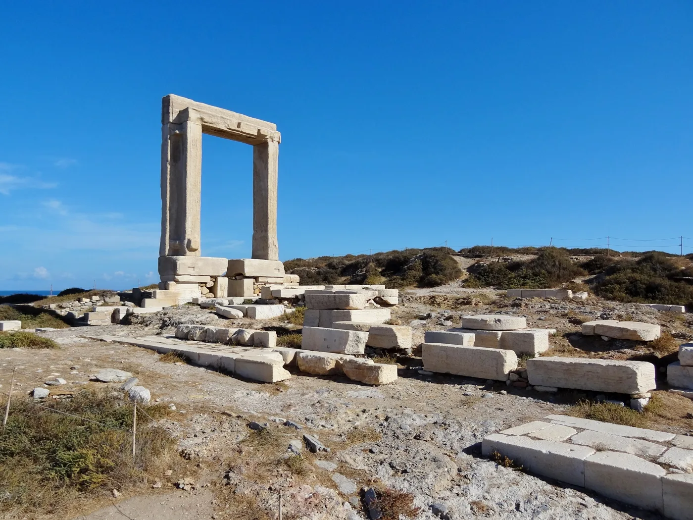
The doorway of a temple that was never finished.
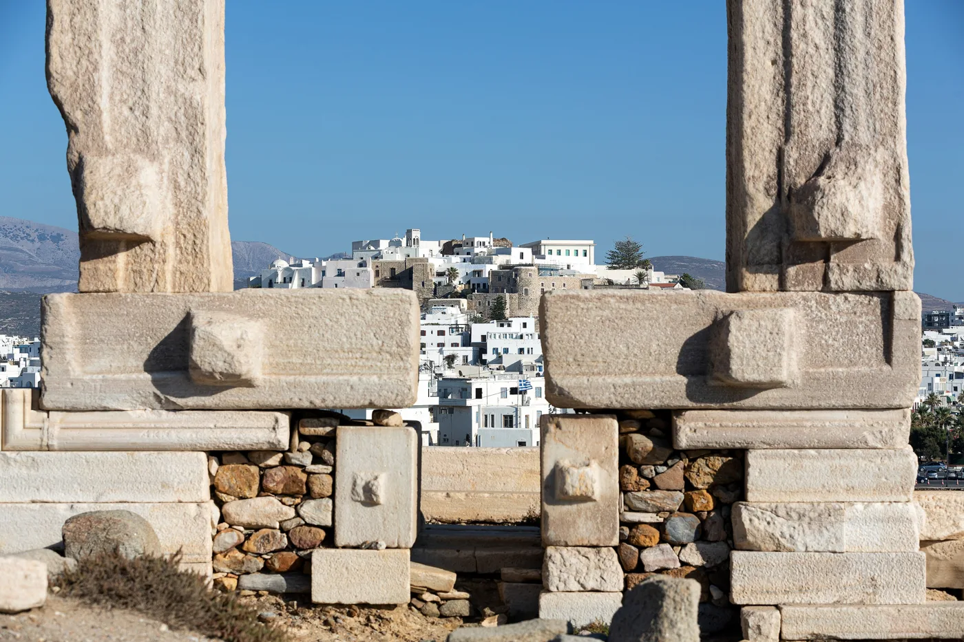
Chora from the threshold of the temple.
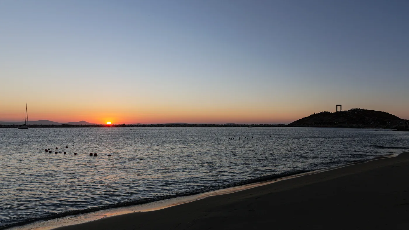
The island’s best-known sunset.
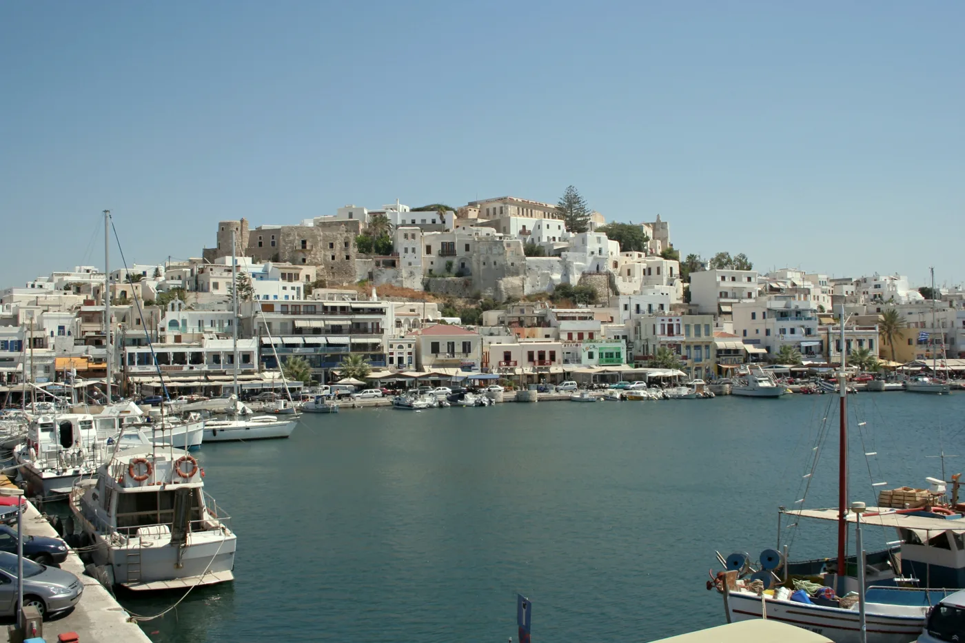
The houses climb up to the Kastro.
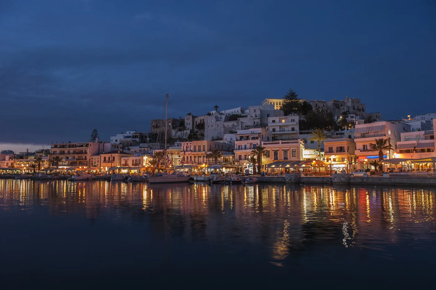
The waterfront fills with tavernas and people.
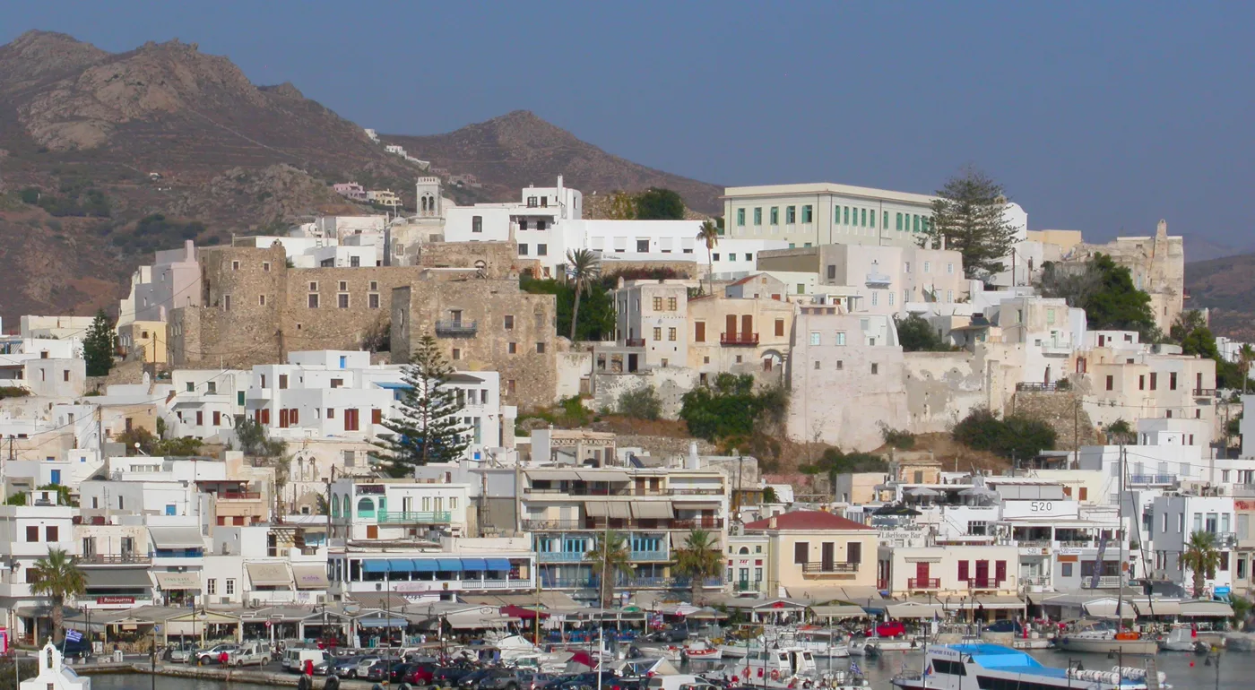
The Venetian town above the harbour.
Photos: Olaf Tausch (CC BY 3.0), Manfred Werner – Tsui (CC BY-SA 4.0), Zde (CC BY-SA 4.0), Atle1963a (CC BY-SA 3.0), Stepanps (CC BY-SA 4.0) · Wikimedia Commons
🏡 The mountain villages
The real Naxos is in its villages. Halki, in the heart of the Tragea valley, has squares shaded by vines, old mansions and the Byzantine church of Panagia Protothronos. An old distillery here makes kitron, the liqueur made from citron leaves. Filoti, the largest village, spreads over the foot of Mount Zas, with its square under the plane trees.
Apiranthos, high in the mountains, is built of stone and marble: marble steps, marble alleys, towers and small museums. Its people speak with their own accent. Further north, Koronos clings to a ravine among terraces. The villages live all year round, and their tavernas cook with local meat, cheeses and vegetables.
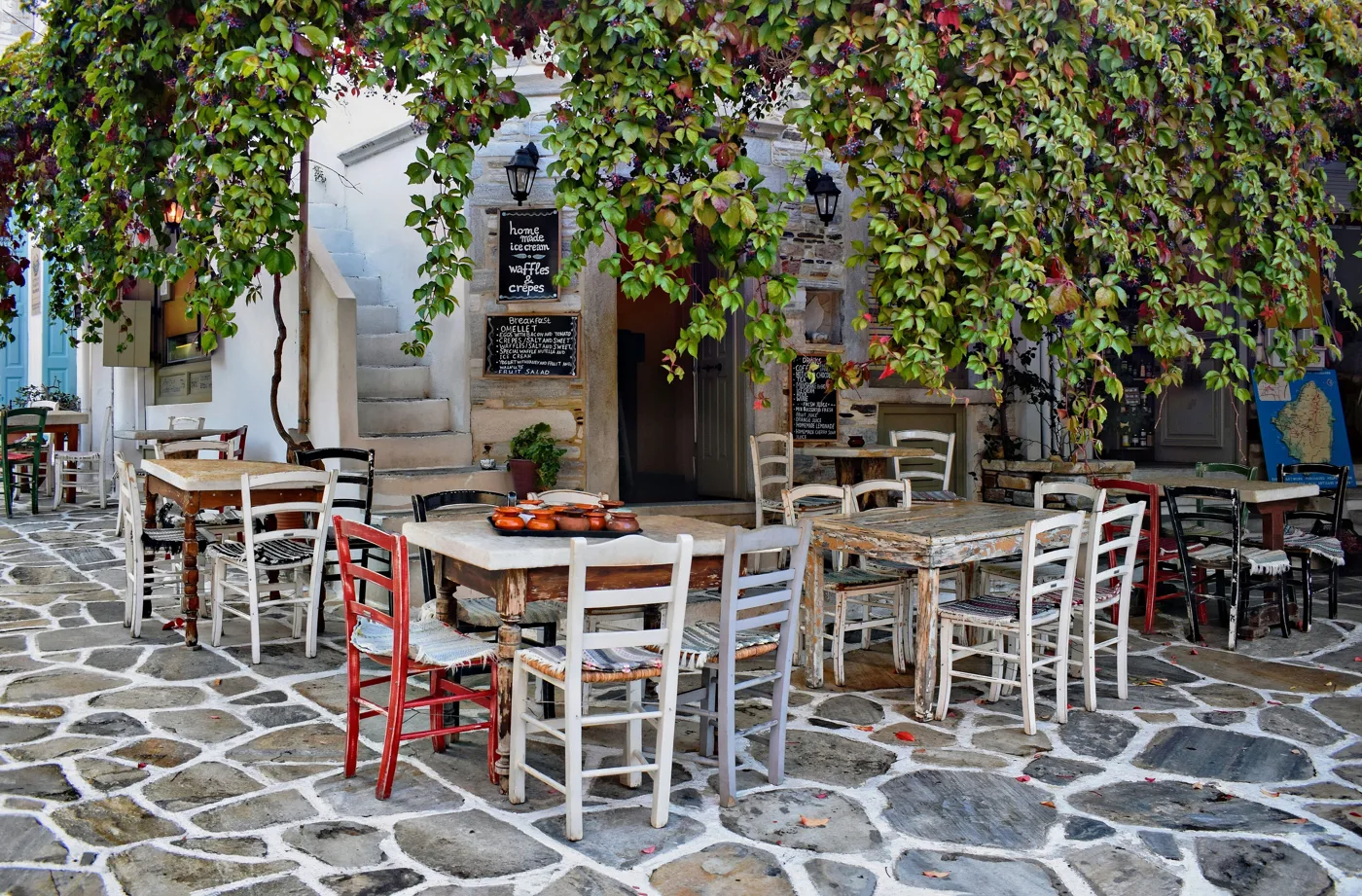
Squares, mansions and kitron.
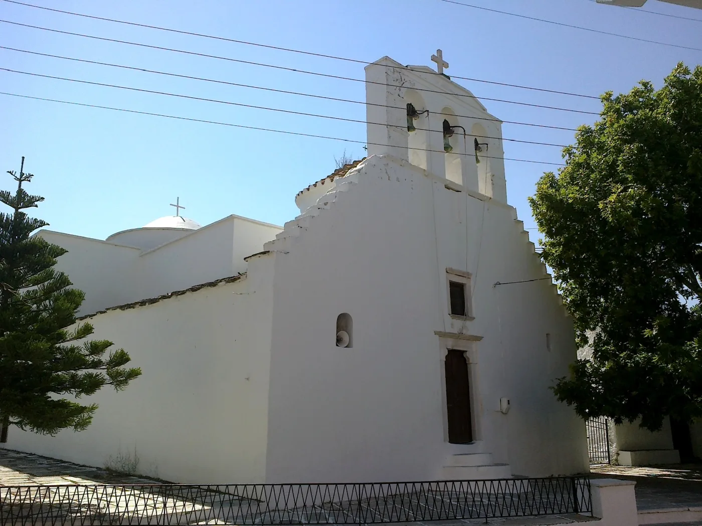
A Byzantine church in the centre of the village.
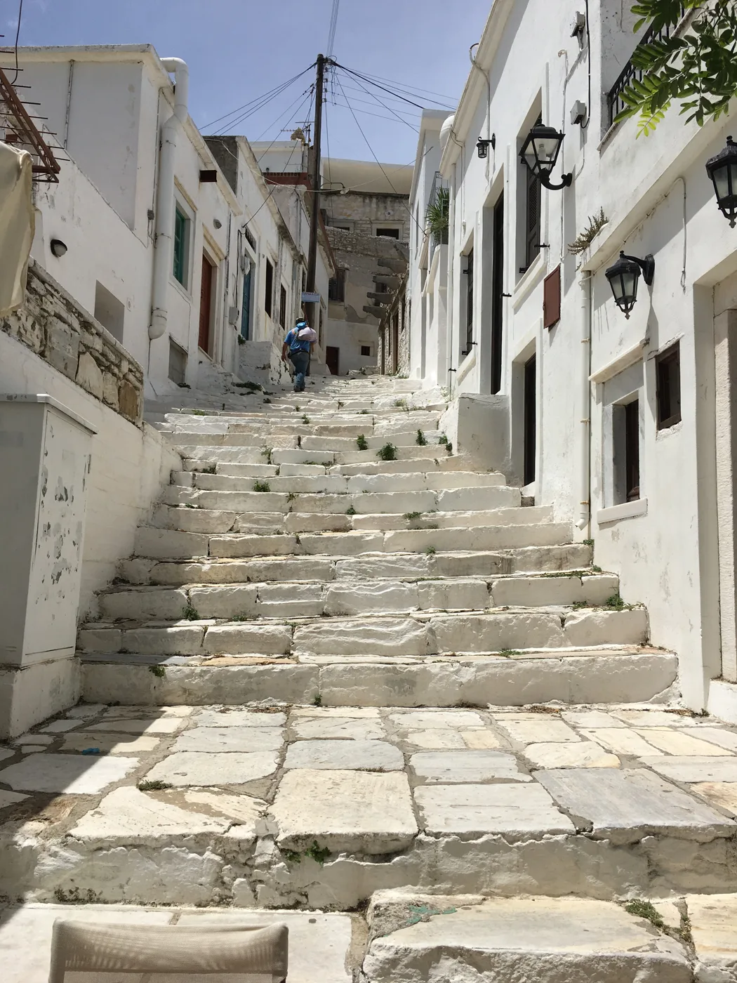
The village with marble alleys.
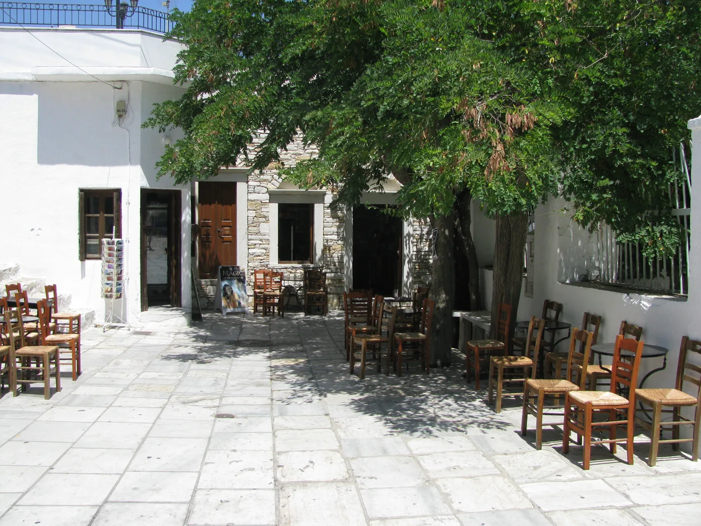
Stone, marble and shade.
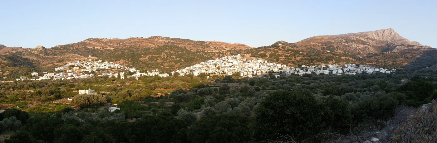
The largest village, at the foot of Mount Zas.
Photos: Jocelyn Erskine-Kellie (CC BY-SA 2.0), rene boulay (CC BY-SA 3.0), CaS2000 (CC BY-SA 4.0), VasCr (CC BY 3.0), Stepanps (CC BY-SA 4.0) · Wikimedia Commons
🗿 Kouroi and ancient temples
Naxos was the island of marble, and its quarries still hold statues that were never finished. At Apollonas, at the northern tip, a huge kouros more than ten metres long lies in the quarry where it was carved. Near Melanes, at Flerio, a smaller kouros from the 6th century BC lies in a garden. Its leg broke while it was being moved, and it was abandoned.
South of Sangri, at Gyroulas, stands the Temple of Demeter, built around 530–520 BC. It was made entirely of marble, even the roof tiles, and is considered a forerunner of the architecture that later produced the Parthenon. Part of it has been restored, and there is a small museum next to it. A little further east, on a hill, are the ruins of the Byzantine Kastro of Apalirou.
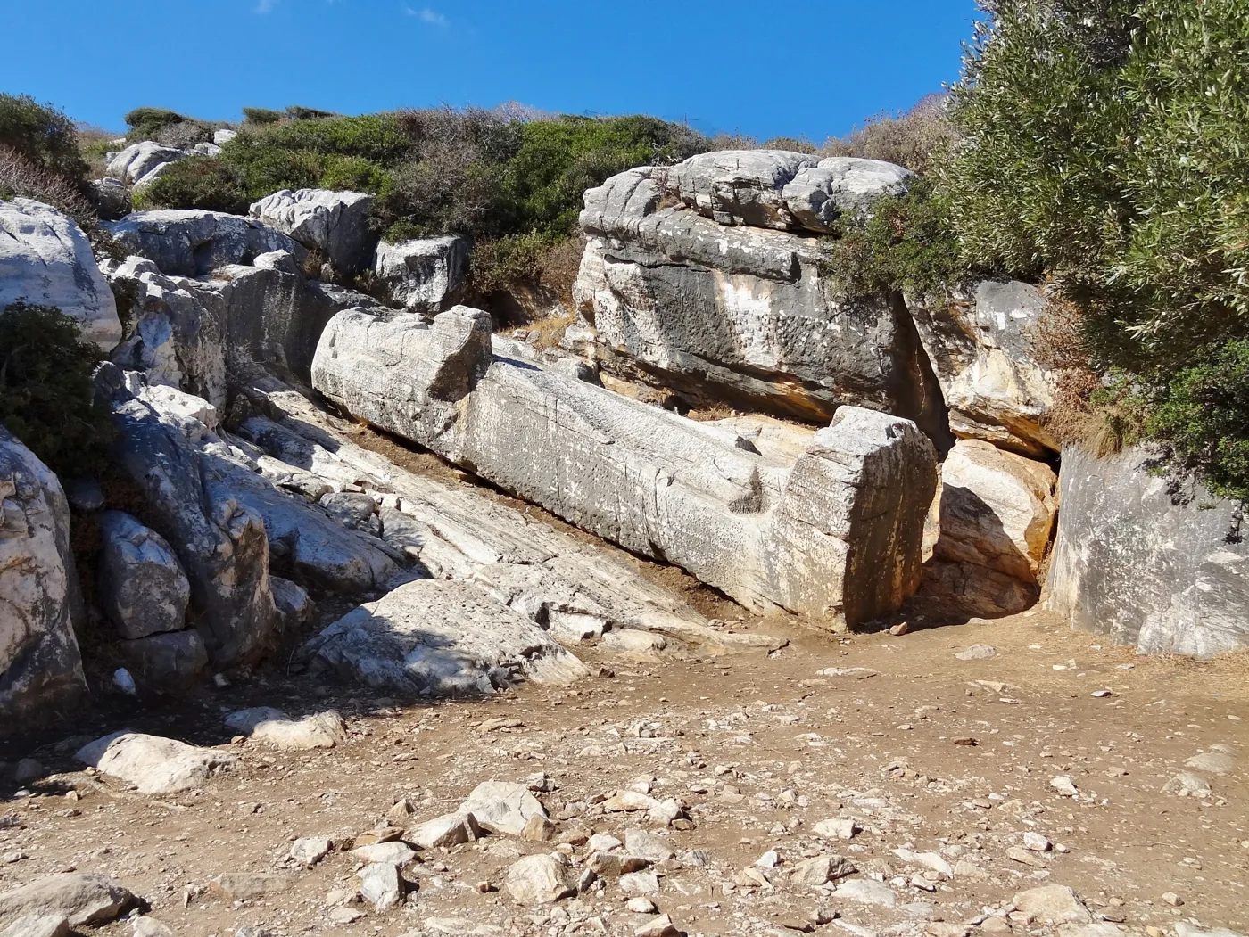
More than ten metres long, still in the quarry.
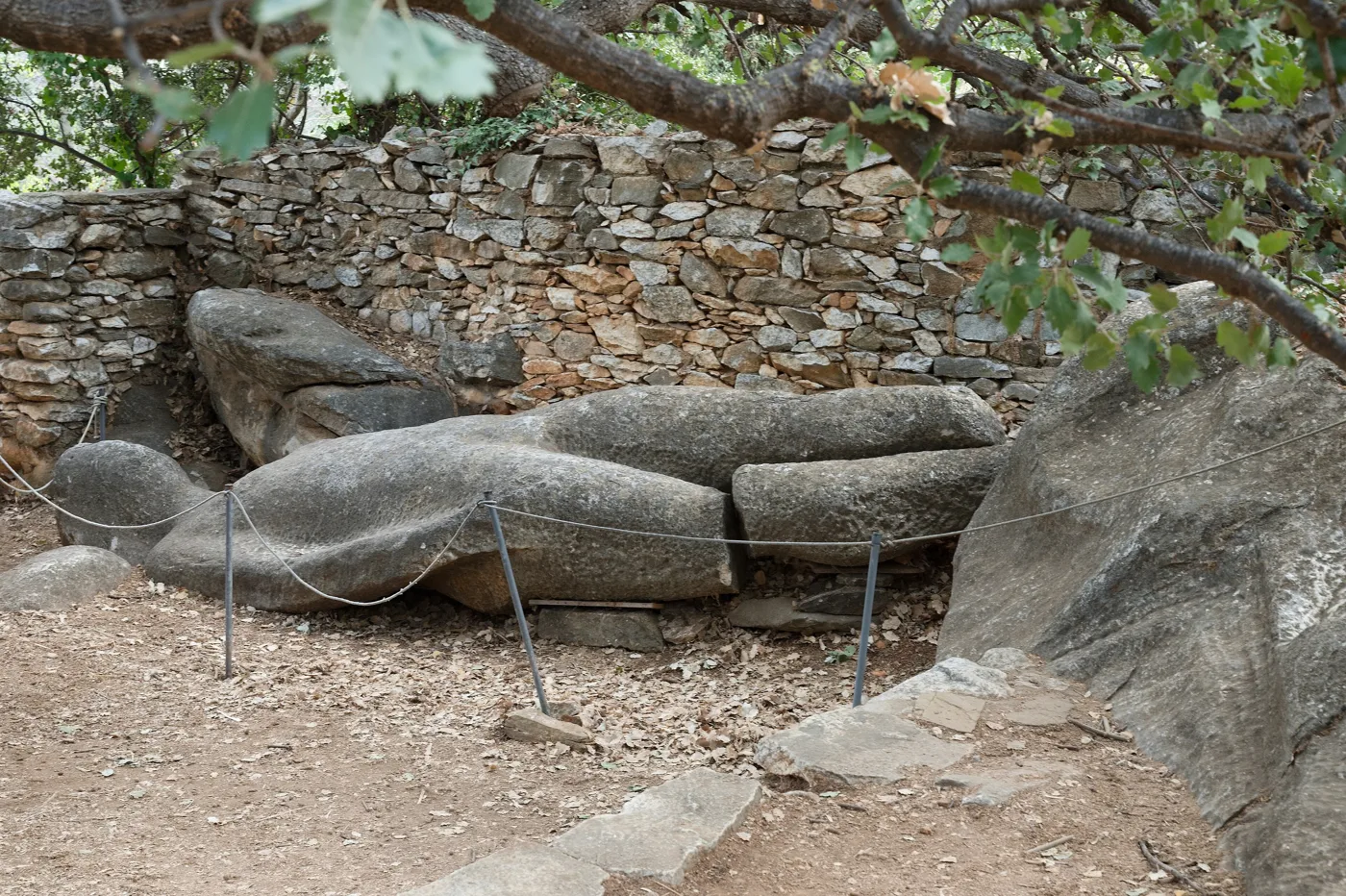
It stayed here when its leg broke.
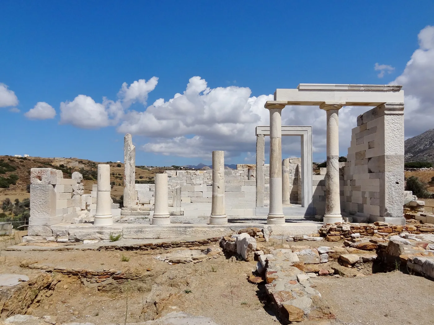
All marble, even the roof.
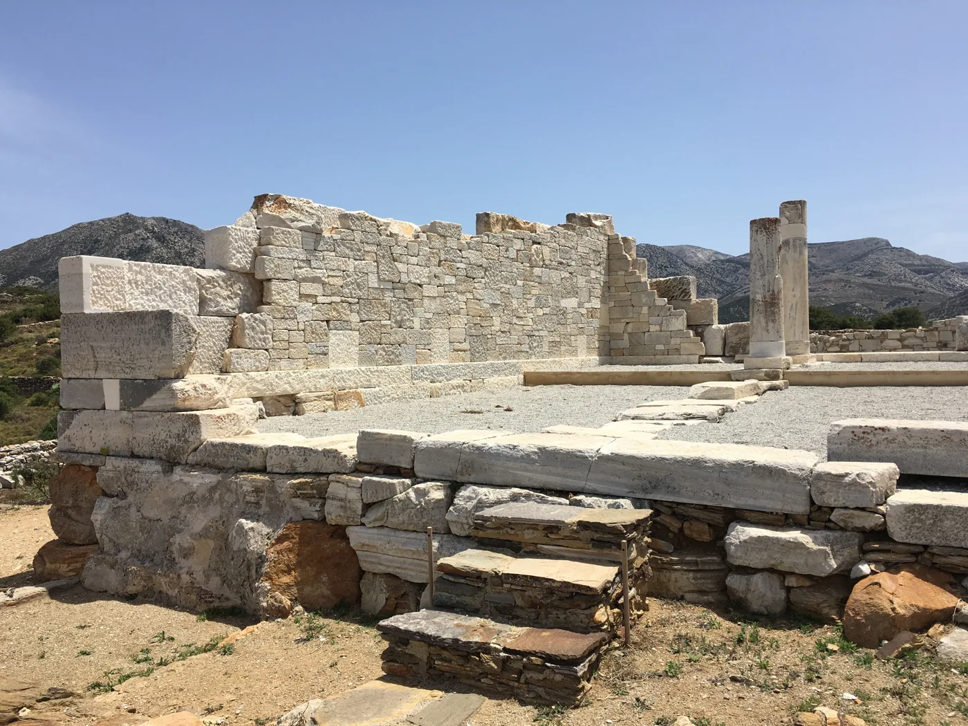
The 6th-century BC marble walls.
Photos: Olaf Tausch (CC BY 3.0), Zde (CC BY-SA 4.0), CaS2000 (CC BY-SA 4.0) · Wikimedia Commons
🏖️ The beaches
The west coast of Naxos has some of the longest sandy beaches in the Cyclades, with shallow, clear water. When the meltemi blows, the sea there gets waves, while the east coast stays calmer.
- Agios Georgios: the town beach of Chora, shallow, with tavernas and cafés. Ideal for small children.
- Agios Prokopios and Agia Anna: golden sand and clear water, a few minutes from Chora, with rooms and tavernas.
- Plaka: more than four kilometres of sand with dunes. Its southern part is less crowded.
- Mikri Vigla: two bays on either side of a rock. One of them is a kitesurfing spot.
- Alyko and Pyrgaki: at the southwest tip, with dunes and cedars, and much quieter.
- Moutsouna and Psili Ammos: on the east coast, far from everything, for the days when the meltemi blows.
⛰️ Mount Zas
Mount Zas, the mountain of Zeus, is the highest peak in the Cyclades. The climb usually starts from the chapel of Agia Marina above Filoti and takes about one and a half to two hours to the top. The path is rocky, so wear proper shoes and take water. From up there you see half of Naxos, the Small Cyclades, Paros and, on a clear day, even further. Do not climb at noon in July.
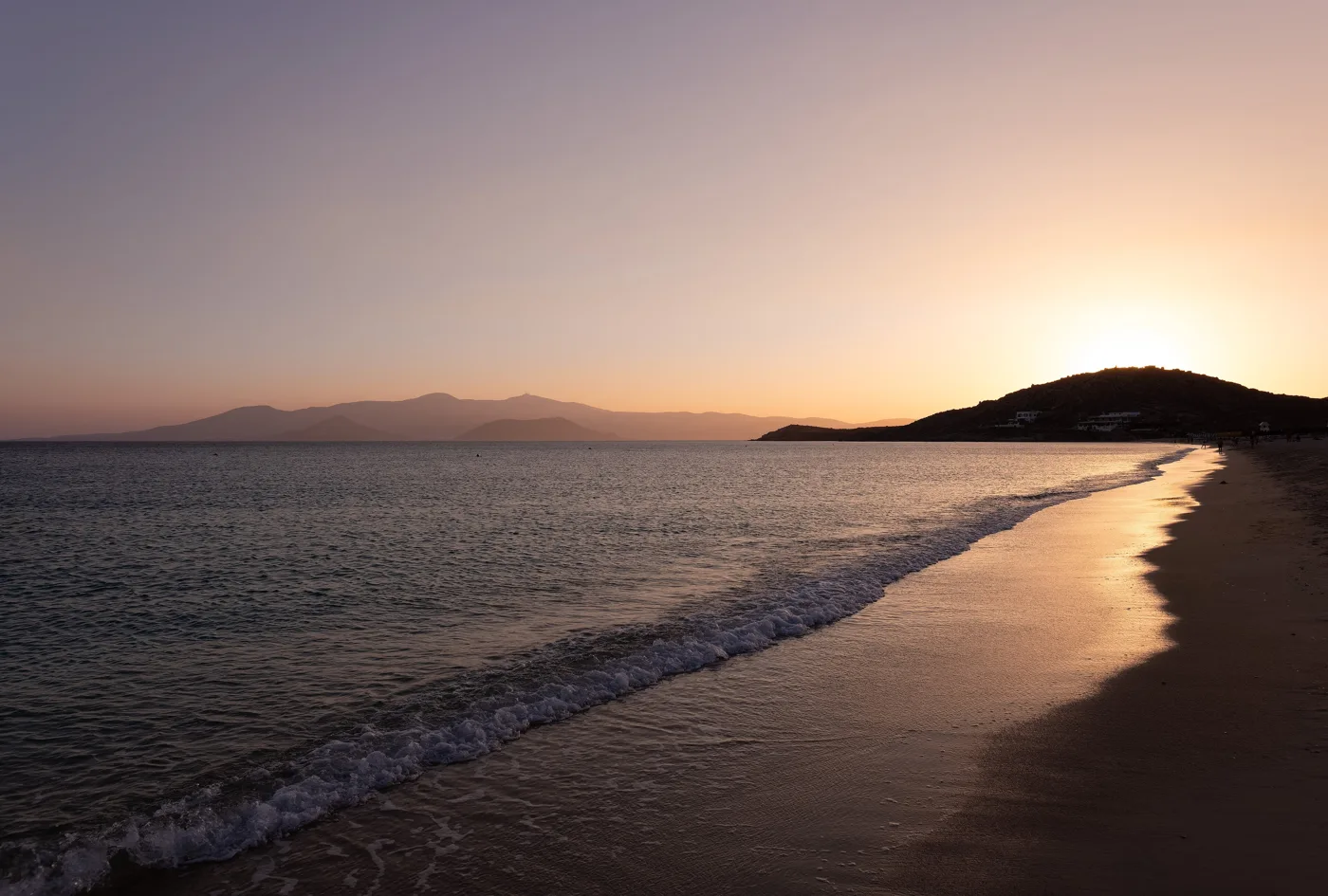
Golden sand, a few minutes from Chora.
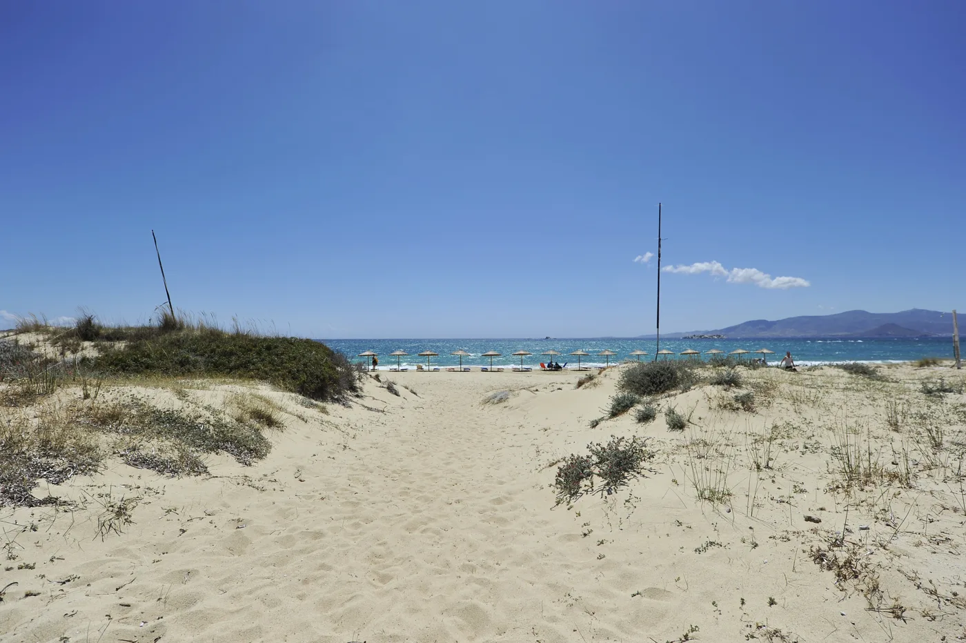
Dunes and kilometres of sand.
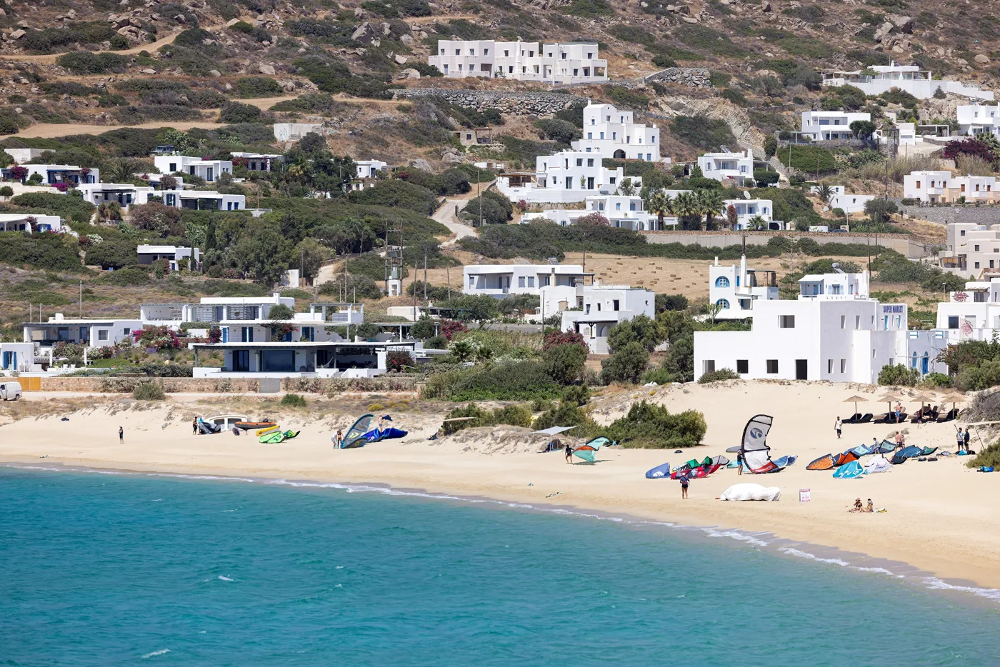
The kitesurfing spot.
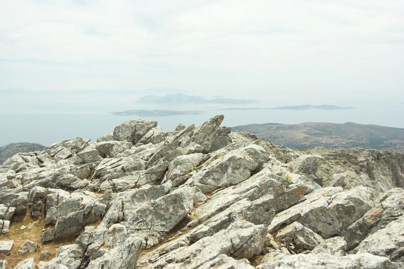
A view as far as Koufonisia and Keros.
Photos: Jules Verne Times Two (CC BY-SA 4.0), Atle1963a (CC BY-SA 3.0), Tsui (CC BY-SA 4.0), Zde (CC BY-SA 4.0) · Wikimedia Commons
🧀 What to eat
Naxos is a farming island and it eats well. Three of its cheeses have PDO status: Naxos graviera, the spicy arseniko and xinomyzithra. Naxos potatoes have protected geographical indication and you will find them fried in every taverna. In the villages try meat baked in a clay pot, rooster in wine and chickpea stew. To finish, a glass of kitron in Halki.
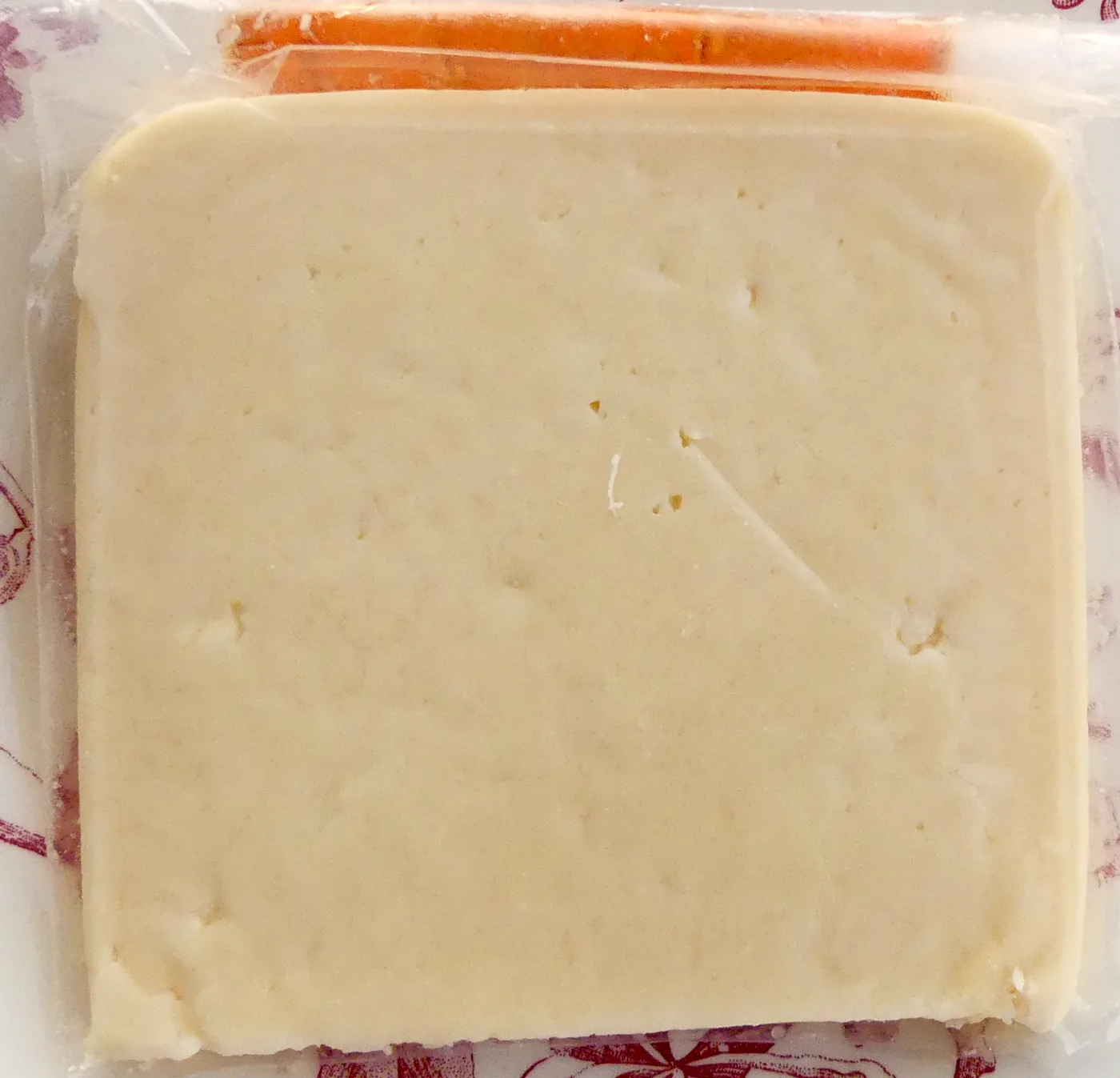
Photo: Ossony (CC BY-SA 4.0) · Wikimedia Commons
📅 When to go
The best time is June and September: the sea is warm, the beaches are open and there are fewer people. In July and August Chora and the nearby beaches fill up, and the meltemi blows hard. May and October are good for hiking and the villages. Because Naxos lives all year round, even in winter you will find tavernas open in Chora and the villages.
Boats leave the harbour of Chora for Koufonisia, Iraklia, Schinoussa and Donoussa. Koufonisia, with its turquoise water, can even be a day trip if the timetables work. Check them in advance, because they change with the season and the weather.
⛴️ How to get there from Athens
| How | Duration | From | Notes |
|---|---|---|---|
| 🚤 Fast ferry | 3.5–4.5 hours | Piraeus | Faster, but rolls when it’s windy. |
| ⛴️ Conventional ferry | 5–6 hours | Piraeus | Cheaper and more stable, usually with a stop on Paros. |
| ✈️ Plane | Less than an hour | Athens airport | A small airport with few flights, so book early. |
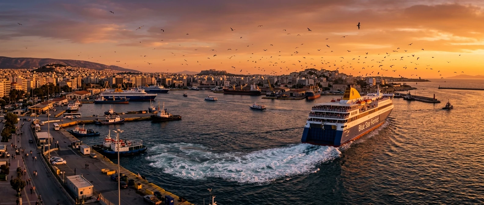
From Ioulianou 50, Piraeus is easy: Line 1 from Victoria to the end of the line, no changes. For the airport, take Line 1 to Monastiraki and then Line 3 towards the Airport. Ferries dock at the harbour of Chora, right below the Portara, and from there everything is on foot. See our guide to ferries from Piraeus.
🚌 Getting around the island
- KTEL buses: leave Chora for the beaches of the west coast and for the villages, as far as Apollonas. They run often to the beaches, only a few times a day to the villages.
- Car: the best way to see the mountain villages, the kouroi and the empty beaches. The mountain roads have lots of bends.
- Scooter or quad: handy for the west coast, but watch out for the wind and the bends.
- On foot: Naxos has waymarked paths between the villages, ideal in spring and autumn.
🛏️ Where to stay
| Region | For whom | Good to know |
|---|---|---|
| Chora | No car, first visit | Harbour, buses, beach and tavernas on foot. |
| Agios Georgios | Families | A shallow sandy beach, five minutes from Chora. |
| Agios Prokopios, Agia Anna | Beach and couples | Golden sand, bus to Chora. |
| Plaka, Mikri Vigla | Peace and quiet, kitesurfing | More isolated, a car helps. |
| Halki, Filoti, Apiranthos | Hikers, food, the authentic island | Cool in summer, you need a car for the sea. |
🗓️ A three-day itinerary
Chora, the Kastro and the Portara
Morning in the alleys of Chora and the Kastro, with the Archaeological Museum. Swim at Agios Georgios or Agios Prokopios. In the afternoon walk out to the Portara for the sunset.
Mountain villages and kouroi
By car: the Temple of Demeter at Sangri, Halki for coffee and kitron, Filoti and Apiranthos for lunch. Return via Flerio to see the kouros.
Beaches of the west coast
A day on the sand: Plaka, Mikri Vigla and, if you have time, down to Alyko with its cedars. Lunch at a taverna by the sea and the sunset from the beach.
Frequently asked questions
How many days do I need?
At least four days. With three you see Chora, a few beaches and the main villages. With a week you also have time for Mount Zas and a trip to Koufonisia.
Do I need a car?
For Chora and the west coast beaches, no, the buses are enough. For the mountain villages, the kouroi and the empty beaches, yes, at least for two days.
Naxos or Paros?
Naxos is bigger, more rural and has better sandy beaches. Paros is more fashionable, with a livelier nightlife. They are so close that many people do both. See also our guide to Paros and Antiparos.
Is it good for children?
One of the best. Agios Georgios, Agios Prokopios and Agia Anna have shallow water and sand, and prices are more reasonable than on other big islands.
Is it worth visiting in winter?
For villages, hiking and food, yes. Naxos lives all year round, but most beach hotels close from November to March.
— Kathy